

The quest to find solutions has taken the search back to a southern part of the Indian Ocean more than a decade after the loss of Malaysia Airlines Flight 370 that disappeared with 239 passengers on board. This time around, it is equipped with hi-tech marine robotics, polished drift-analysis and a no-find no-fee contract putting $70 million on the line should the wreckage be located. To fans of aviation and those who follow the technological advances, the resumption of the hunt provides a unique glimpse at the depth of deep-sea search technology engineering – and the daunting obstacles that lie between it.
1. The Inexplicable Mystery of the Disappearance
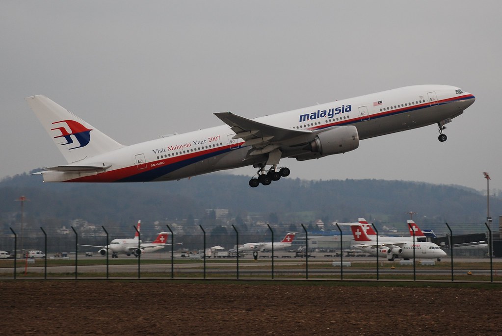
Flight MH370 took off Kuala Lumpur headed to Beijing on 8 March 2014. A few hours later, at less than an hour, its transponder signal failed, leaving it out of civilian radar. Military surveillance indicated a sharp turn west of the Andaman Sea and then satellite imagery indicated hours of flight south of the remote Indian Ocean. No distress signal, ransom demand or extreme weather was reported. In 2018, Malaysian investigators came up with a report that the plane had been diverted intentionally, although it did not name the culprits.
2. The ‘No-Find, No-Fee’ Contract
The government of Malaysia has hired Ocean Infinity, a UK-US marine robotics company again on a no-find no-fee basis. The company will receive payment only in case it finds the wreckage. The search area of approximately 15,000 sq km target has been determined through recent satellite data and ocean drift modelling with the help of the professionals studying the debris on the African coasts and the Indian Ocean islands.
3. The Autonomous Fleet and Armada 7806
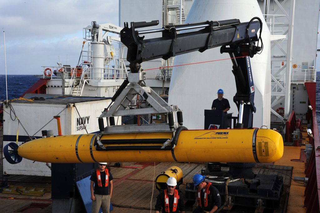
The most recent ship owned by Ocean Infinity is the 78-metre Armada 7806 of 2023, which is equipped with a fleet of Hugin 6000 autonomous underwater vehicles (AUVs) manufactured by Norwegian company Kongsberg. The AUVs are capable of self-travelling 100 hours and have a capability of submerging to 6,000 metres in length, each 6.2m. They also have sidescan sonar that can be used to image the seabed in high-resolution, synthetic aperture sonar that can survey over a long distance and provide detail, multibeam sonar to map the topography, and sub-bottom profiling sonar to locate buried objects under sediment.
4. Mapping the Abyss
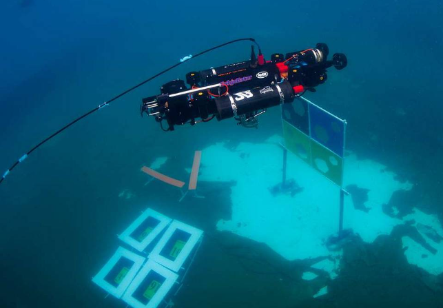
The sonar systems are working together: the sidescan sonar sends acoustic pulse in order to form detailed images of the seabed; the synthetic aperture sonar uses a combination of several pings to form sharper scans and have a larger area; the multibeam sonar emits fan-shaped arrays in order to scan underwater terrain; and the sub-bottom profiling examines the seabed and creates more geological layers. Should sonar detect a point of interest, the AUVs have the ability to descend nearer to obtain an image whereas remotely controlled vehicles (ROVs) equipped with cameras and manipulator arms can be used to confirm and retrieve items.
5. Harsh Environment engineering
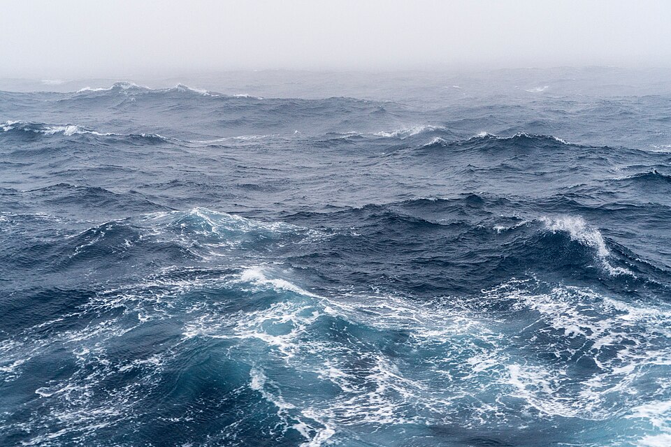
The Roaring Forties of the southern Indian Ocean cause waves as long as six metres, a strong westerly wind, and unpredictable swells. There is steep ridge, canyons, and volcanic features to be encountered below the surface by searchers. In spite of the high level of robotics, there is a high probability to go past the wreckage and not see it because of the terrain or incomplete survey data. The 24-hour services demand continuous AUV recovery, battery recharge, data stitching, and equipment servicing and all these have to fight the harsh sea waves.
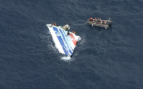
6. The teachings of Past Deep-Sea Splendid Adventures
This search was the largest underwater search in history, as it involved 120,000 sq km of seabed being searched by previous searches of MH370. However, only pieces, such as a flaperon, discovered in 2015 on the island of Réunion, are established. The hard work is shown in previous aviation recoveries, including the Air France Flight 447 which required almost two years and four searches to find the wreckage at 3,000m in depth in the Atlantic. The crash site that MH370 is suspected of being found is further and in harsher waters.

7. Drift Analysis and Data Refinement
The focus of ocean drift modeling has been the reduction of the search zone. The study of the origin of the debris in the past using the historical current and wind patterns has revealed the high-probability points of impact. The most recent models combine the data of the satellite communications, weather records and hydrodynamic simulations and narrow the search area to a small portion of the initial search region. This accuracy is crucial – even the most sophisticated sonar will fail to recompense the search in the wrong direction.

8. Theories Awaiting Evidence
Theories of the fate of MH370 include pilot suicide and hypoxia induced ghost dives to hijacking or mechanical breakdown. The fact that some parts are damaged causes some investigators to believe a high-speed, uncontrolled descent. Others also cite intentional flight decisions in the last hours of the aircraft. Theories of conspiracy have been doing the rounds – remote-control takeovers, foreign military intervention but no black box or the major wreckage can corroborate any of these.
9. What to Do in Case Wreckage is Discovered
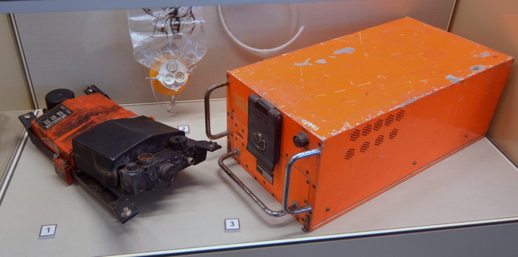
In case the wreck is found the ROVs will be used to take photos and recover significant parts of the wreck such as the flight data recorder and cockpit voice recorder. Although the data recorder is still capable of supplying information even several years after the accident, the two-hour loop of the voice recorder implies that the most vital cockpit discussions might have been overwritten in the last hours of the plane. Such depths of operations would involve careful planning and favourable weather conditions during salving operations.
The families of the victims, both in China, Australia, Malaysia and other countries have struggled to ensure that the search is not abandoned as it is seen as not only necessary to assist them in gaining some form of closure but also in ensuring security in international aviation. To the engineers, oceanographers and aviation investigators, the rekindled hunt is a challenge of whether the new generation of marine robotics and data analytics can exceed where previous searches had failed.

