When an earthquake with a magnitude of 8.8 rocks the Bering Sea coast off the Russian Peninsula of Kamchatka, should we panic or calmly examine and inquire about what specifically governs the size of the disaster? In geology and disaster science enthusiasts, the recent disaster in Kamchatka represents a textbook case in the chaotic processes in megathrust earthquakes, the unpredictable aspects of tsunamis, and the changing technology that falls in the disaster’s path and the people along the coast.
1. Megathrust earthquake processes in Kamchatka
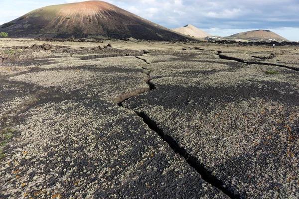
The Kamchatka Peninsula crosses the Pacific “Ring of Fire,” where the Pacific Plate moves ceaselessly beneath the Okhotsk microplate at some 8 centimetres per year double the pace of fingernail growth, but a sprint compared with tectonic averages. The subduction zone is notorious for the force of its earthquakes. The recent earthquake, with a rupture length nearly 500 km and hypocentre depth some 21 km, fulfils the textbook definition of a megathrust earthquake. “When we typically imagine an earthquake, we imagine an epicentre as some small point on the map. But with these big earthquakes, the fault will have ruptured through the scores, the hundreds, the kilometres,” said University College London’s Dr. Stephen Hicks. The strain built up and unleashed over minutes, it’s what produces these stupendous events, in some cases matching the strength of the infamous 1952 Kamchatka earthquake some 30 km away which produced waves up to 15 metres high.
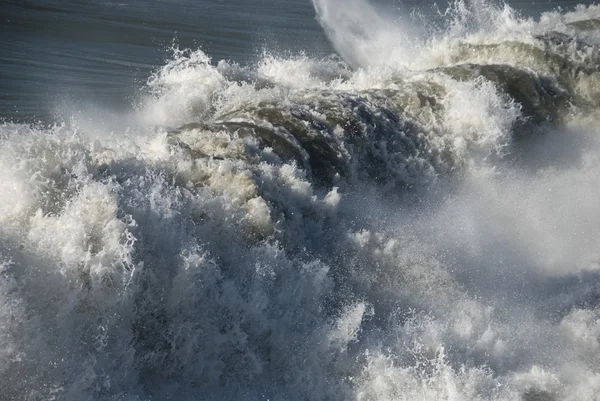
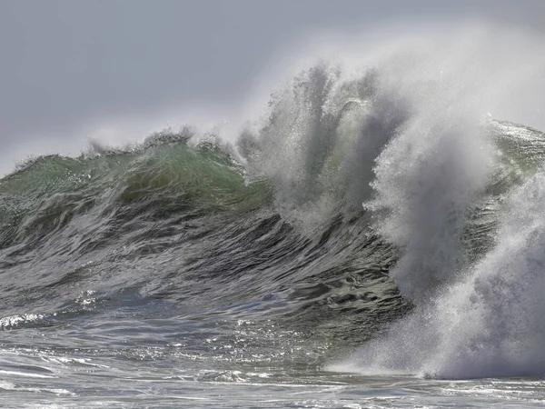
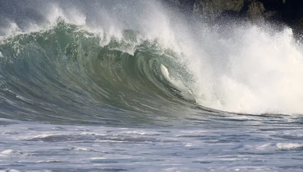
2. Tsunami Wave Height and Seafloor Bathymetry
Yet, not every monster quake spawns a monster tsunami. The height and reach of tsunami waves are governed by a complex interplay of factors most notably, the shape and detail of the seafloor (bathymetry) and the depth of the earthquake rupture. As tsunami waves traverse the deep ocean, they may travel at jetliner speeds up to 800 km/h but rarely rise above a meter in height. The drama unfolds near shore, where shallower depths slow the waves, compress their wavelength, and amplify their height. “The height of the tsunami wave is also affected by local shapes of the seafloor near the coast and the [shape] of the land where it arrives,” noted Prof.
Lisa McNeill of the University of Southampton. Recent studies demonstrate that bathymetric resolution is crucial: using coarse-resolution data like GEBCO can underestimate maximum wave heights by up to 50% compared to high-resolution multibeam or LiDAR-derived models which capture fine-scale seafloor features. Submarine canyons, ridges, and coastal bays can focus or scatter tsunami energy, sometimes dramatically altering local impact.
3. Depth and Tsunami Generation of Earthquakes
Depth does count. A shallower earthquake (e.g., at 20 km below the sea surface) has a high possibility of inducing large-scale displacements in the seafloor and therefore a large-scale tsunami. If the rupture happens at some point deeper down, amplitudes in waves thus induced are largely diminished. “Potentially you could move that earthquake the other 20 kilometres down deeper, and that would actually diminish the amplitude of the tsunami waves quite a bit,” explained Dr. Hicks in the BBC News interview. Perhaps the comparative restricted range in the location of rupture in the recent disaster at Kamchatka restrained the bulk of the displaced waters such that waves seen though locally up to a height of 4 m were largely smaller in contrast with the gigantic waves seen in the year 2004 and 2011.
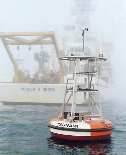
4. The Role Played by the Real-Time Tsunami Detection Networks
The current day predictions in disasters can be largely attributed due to the advances in technology like the Deep-ocean Assessment and Reporting of Tsunamis (DART) system. Located at the ocean floor and with the aid of bottom pressure recorders, the stations can identify variations in pressure at least a millimeter in sea level and report in real-time via acoustic and satellite links with local and worldwide warning centers. DART II buoys, which facilitate two-way communication and remote diagnostics and high-frequency acquisition, are useful confirmations in the generation or, more importantly, elimination in the wake of major earthquake events of tsunamis. In the Kamchatka event, the instruments enabled fast warnings across the Pacific, with Japan, Hawaii, and the United States West Coast receiving the warnings in minutes.
5. Developments in Seismic Imaging and Hazard Modelling
The detection of the structural detail at subduction zones is no small accomplishment. Advanced 3D seismic imaging methods like multichannel seismic (MCS) surveys have transformed the practice of hazard evaluation through the illumination of the very specific geometry at the interface of the plates, the location of the seamounts, and the segmentation at the megathrust which can be employed to constrain the extension of ruptures. High detail models are key tools in the simulation of plausible earthquake and tsunami events due to the fact that they can consider not only the site and size of possible ruptures but also the frictional characteristics and the heterogeneities which govern the behaviour at earthquake faulting.
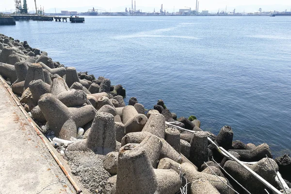
6. Nature-Inspired and Engineering Coastal Defences
Even while early warnings and modelling are paramount, physical defences remain a last line of defence. Classical style hard infrastructure breakwaters, seawalls have failed all too often and even caused additional damage, especially with high-end events and sea-level rise. Engineers are gaining more interest in nature-based defences: re-grown mangroves, coral reefs, and dunes, capable of reducing wave height up to 70% and providing self-maintaining, adapting barriers with high values in terms of biodiversity and resilience. Hybrid defences, blends between green and grey infrastructure, are nowadays trialled in the highest-risk spots in the world.
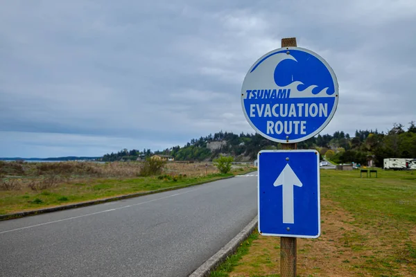
7. The Success and Evolution of Early Warning Systems
The earthquake in Kamchatka put the value of coordinated early warning in sharp focus. Unlike the fatal 2004 tsunami in the Indian Ocean, where no early warning existed, the Pacific nations now possess a variety of seismic and ocean sensors, automated processing centres, and full communication procedures. “Early warnings so far seem successful in enabling timely evacuations,” reported Dr. Jess Neumann at the University of Reading. Foreshock and early warnings in Kamchatka saw the evacuation of millions and probably prevented the loss of countless lives.
Commented Dr. Jonathan Dale, “The degree to which the combined early warnings and keeping populations apprised of the potential harm of these events throughout the Pacific are successful in insulating populations from harm shall play the decisive role in the equation.” Earth science and tsunamis are a history of evolving understanding and technology. With each earthquake and tsunami, such as the recent earthquake in Kamchatka, the proving ground and repository of information with which to refine models, upgrade warnings, and which can spawn new ideas in living in harmony with the dynamic Earth are attained.

