
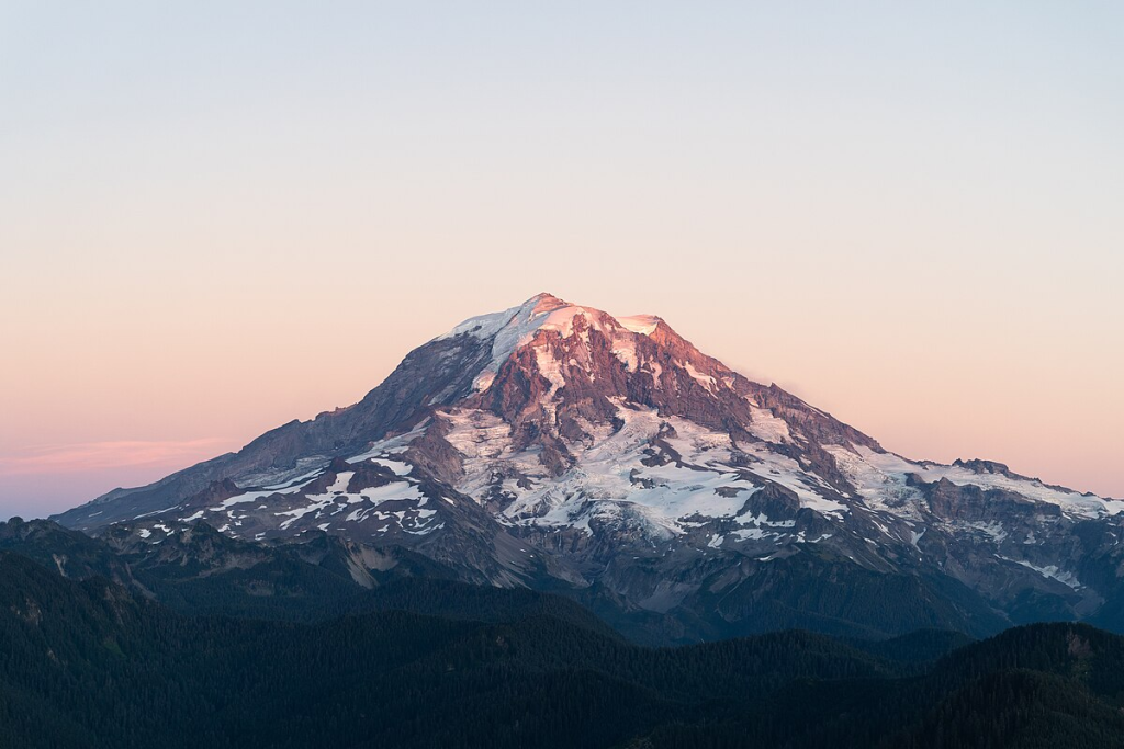
A swarm of over 1,000 earthquakes has rocked Mount Rainier since July 8, 2025 a development, though not at first alarming to scientists, that again brought to the fore public attention on the explosive powers seething beneath the Pacific Northwest’s most recognizable summit. “From what we can observe, we believe the most probable explanation for the earthquakes is water circulating around the crust above the magma chamber,” wrote scientists with the USGS Cascades Volcano Observatory. But beneath the ground, the science and engineering of monitoring, modeling, and mitigating volcanic threats are changing as fast as the ground shaking itself.
1. The Record-Breaking Seismic Swarm: Numbers and Nuance
As of July 25, at least 1,010 small earthquakes had been detected under Mount Rainier, the largest coming in at magnitude 2.4 too faint to be detected by residents or to do any damage. The volcano usually has around nine earthquakes a month, and swarms like this one pop up once or twice a year, but tend to last only a few days and contain many fewer events. The ongoing swarm, in its third week, is historic in terms of both duration and size, well surpassing the old record that occurred in 2009, when there were only 120 found quakes in three days The Pacific Northwest Seismic Network. In spite of the size, USGS keeps the alert level at “normal,” stressing that “the volcano is not ‘due’ for an eruption and we do not see any signs of a potential eruption at this time.”
2. What Lies Beneath: Imaging the Magma System
There is no way to comprehend the actual risk without looking deeply beneath the surface. Seismic tomography and magnetotellurics have revolutionized scientists’ capacity to image the intricate, mush-dominated magmatic systems below volcanoes such as Rainier. Seismic tomography images subsurface velocity structures from earthquake waves, which show that the majority of volcanoes Rainier included are not fed by large, melt-filled magma chambers. Rather, they contain zones of partially molten crystal mush, ones that may be temporary and challenging to image with absolute certainty seismic imaging of magma and crystal mush. Magnetotellurics, measuring changes in the Earth’s electromagnetic field, further enhances these images by identifying electrically conductive areas where magma pools. Such techniques have demonstrated that even highly active volcanoes tend to have magma stored in a largely solid form, with small but interconnected areas of melt conditions that minimize the probability of sudden, large-scale eruptions but make it difficult to forecast hazards.
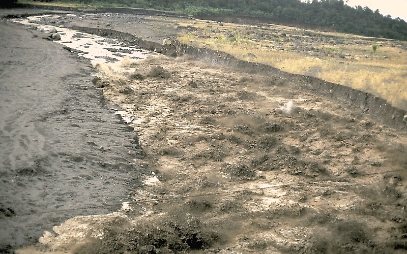
3. Lahars: The Actual Hazard to Populations
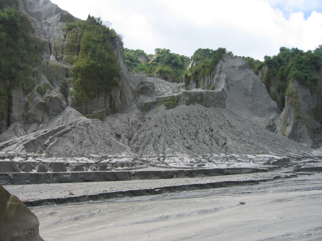
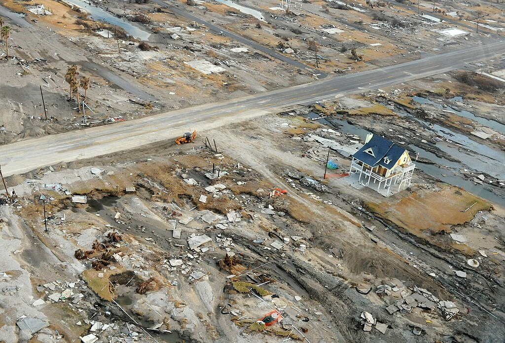
Though the swarm itself is not a serious short-term threat, the real danger at Mount Rainier isn’t lava or ash, but lahars rapidly flowing, concrete-like mixtures of mud, rock, and water that can completely destroy communities downstream. “The largest risk at the volcano stems from its ability to produce enormous lahars caused by sector collapse or magma-water-ice interaction, not from an eruption,” states a recent USGS assessment Mount Rainier volcanic hazards. Historical lahars have moved as fast as 80 km/h and 150 meters deep in narrow valleys, reaching populated lowlands in less than an hour. More than 90,000 individuals reside in lahar hazard areas today, with vital infrastructure such as highways, bridges, and ports directly in harm’s way Mount Rainier lahar hazard areas.
4. Early Warning Systems: From Tripwires to Real-Time Sensing
With the velocity and uncertainty of lahars, warning is a matter of beating the clock. The Rainier Lahar Detection System (RLDS), activated since 1998 and recently upgraded, incorporates an array of broadband seismometers, infrasound detectors, tripwires, cameras, and GPS receivers along principal river drainages. Signals are sent in real time to emergency operations centers, where advanced software examines data for signs of lahars and initiates alarms through multiple channels, such as sirens and mass media Mount Rainier Lahar Detection System. Emerging technologies are being explored to substitute problematic tripwires, such as laser rangefinders that can serve as “virtual tripwires” and be able to verify the passage of debris flows without the maintenance issues of wires. These systems are optimized to reduce both false alarms and missed detection, an important balance for public safety and trust.
5. Modeling the Unthinkable: Computational Flow Simulations
In order to predict the extent and effect of lahars in the future, USGS uses computational models such as D-Claw, which model the sizes, depths, and speeds of flows for different scenarios. These models indicate that a lahar of the same magnitude as the 1507 Electron Mudflow may take 10–20 minutes to reach small towns and 50–60 minutes to reach large towns, highlighting the necessity of immediate evacuation strategies simulating lahar flooding. The models also include the effect of hydrothermally altered, clay-rich rock on Rainier’s flanks that can breach at any moment and produce disastrous flows even when there is no eruption.
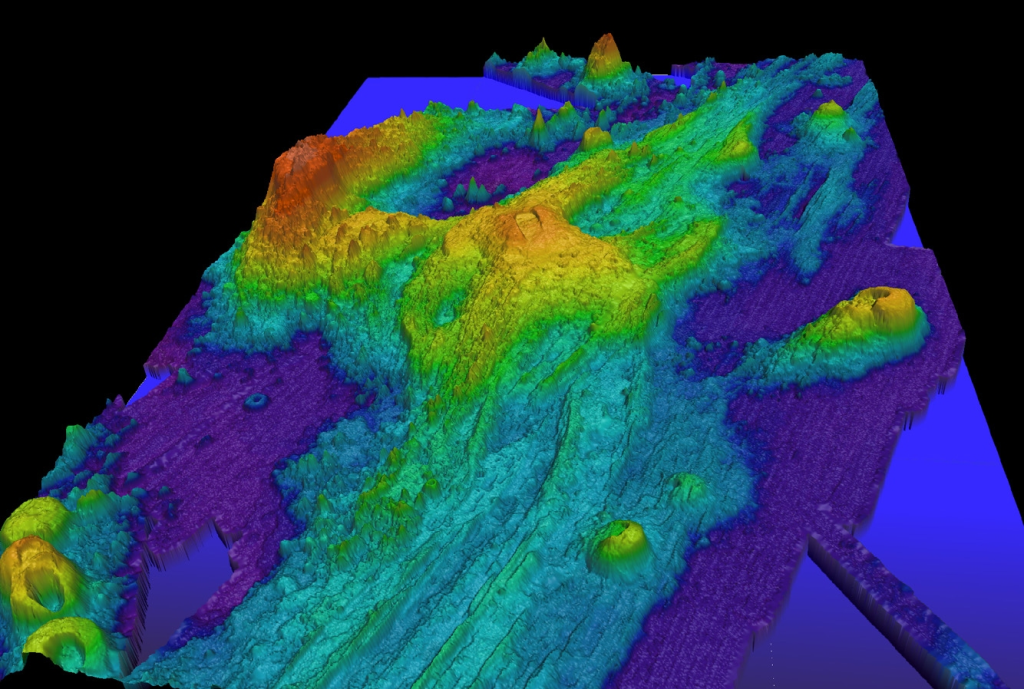
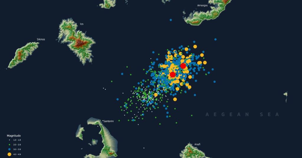
6. Comparative Insights: Axial Seamount and Submarine Eruption Forecasting
Mount Rainier is not the only volcano in the area in question. Some 240 miles away, the Axial Seamount on the Pacific ocean floor has had its own seismic swarm, with as many as 300 earthquakes daily and magma in motion. Submarine eruptions of Axial, as opposed to Rainier, but the seismic patterns sets of short, tightly clustered quakes provide a similar laboratory for comparing how magma moves and how eruption predictions can be made more precise. High-resolution seismic imaging in mid-ocean ridges, for instance, has established layered, mush-dominated magma systems comparable to those postulated for Rainier, invalidating the idea of steady-state, melt-filled chambers and emphasizing the intricateness of volcanic plumbing global wide crustal magma systems in rapid-spreading ridges.
7. Engineering Resilience: Community Preparedness and Response
The engineering problem goes well beyond detection to evacuation and resilience. Emergency management authorities of Pierce County and its neighboring counties have created extensive response plans, painted evacuation routes, and periodic drills such as the world’s largest lahar-evacuation drill involving over 45,000 students last year. “Just understand that if we observe it and if we hear it, we’re going to begin mobilizing and ensuring that our citizens are as prepared and ready as they possibly can be,” Deputy Director Amy Gillespie of Pierce County Emergency Management Pierce County Emergency Management stated. The convergence of real-time data, quick modeling, and public messaging constitutes the cornerstone of a system made to save lives when minutes are most critical.
The Mount Rainier seismic swarm is a vivid reminder that the volcano’s largest threat may not be apparent, but it is becoming more knowable thanks to the intersection of geophysical science, sensor technology, and engineering vision.

