
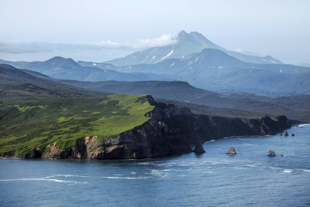
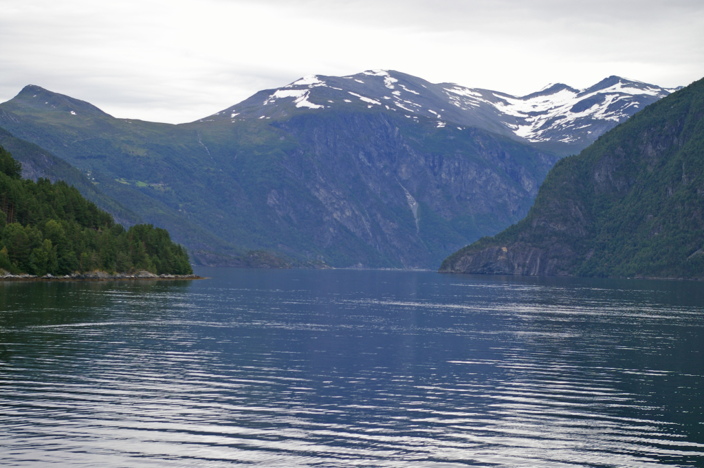
In a remote East Greenland fjord, a collapsing mountainside did more than raise a towering wall of water. It set off a chain of forces that linked glacier loss, rock failure, trapped waves, and the solid Earth itself. The result was a geological signal so unusual that instruments around the world kept recording it for nine days. What made the Dickson Fjord event remarkable was not only the scale of the tsunami, but how a narrow Arctic basin turned one violent moment into a prolonged planetary vibration.
1. A glacier-thinned mountainside gave way
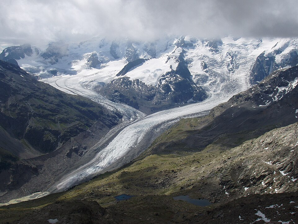
The sequence began on 16 September 2023, when about 25 million cubic meters of rock and ice detached from the Hvide Støvhorn area roughly 1,200 meters above Dickson Fjord. Researchers concluded that long-term glacier thinning at the mountain’s base had removed critical support, a process known as debuttressing. As the slope failed, it swept additional glacier ice into the moving mass and accelerated down a steep gully.
The avalanche reached peak speeds near 47 meters per second, giving it enough momentum to strike the fjord with extreme force. Scientists later identified evidence for several smaller failures from the same gully in recent years, suggesting the slope had already entered a more unstable state.
2. The wave reached mega-tsunami scale inside the fjord
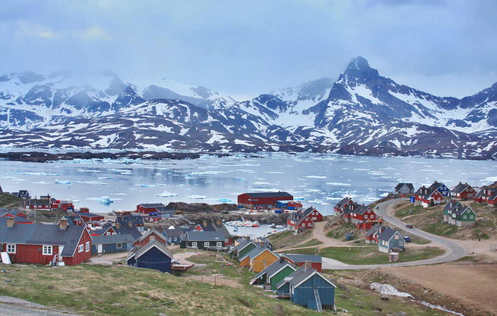
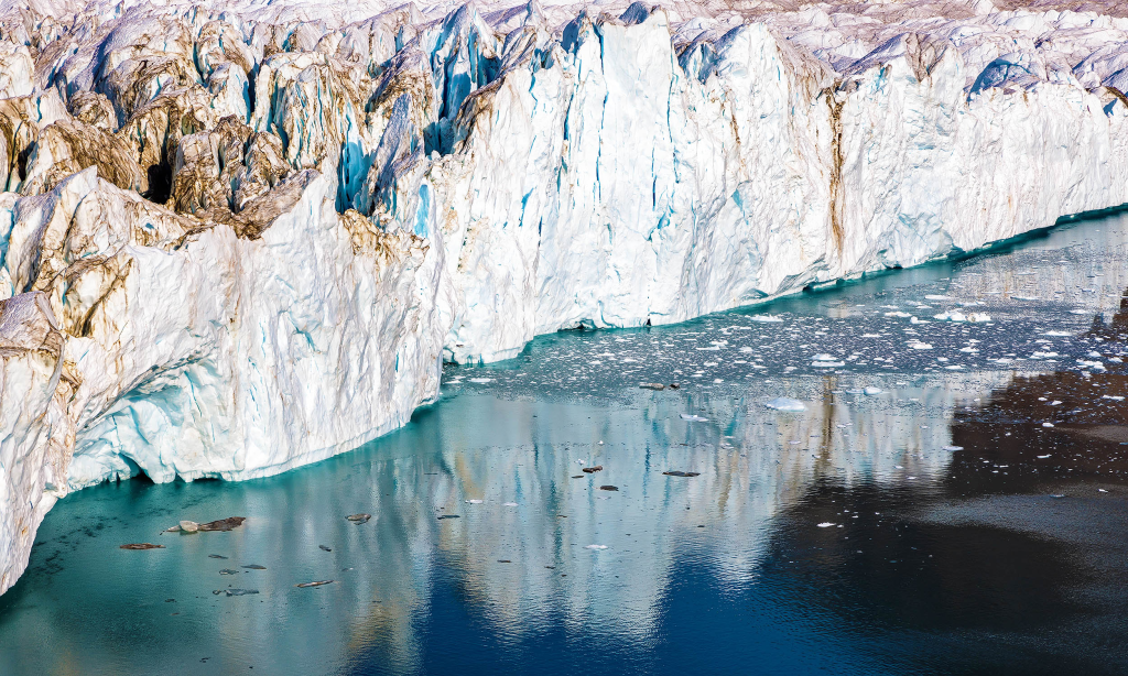
When the rock-ice avalanche hit the water, it generated a tsunami with an initial runup of about 200 meters, or roughly 650 feet. In a wide ocean basin, some of that energy would have spread out quickly. Dickson Fjord did the opposite. The fjord is deep, narrow, and strongly confined, with shorelines and bends that helped focus the wave rather than release it. Modeling showed later waves still reaching around 110 meters within the fjord system, while at Ella Island, 72 kilometers away, the tsunami still rose to about 4 meters and damaged research infrastructure and heritage sites.
3. The tsunami turned into a trapped standing wave
The most unusual part came after the initial impact. Instead of fading away, the water began sloshing back and forth across the fjord as a seiche, a standing wave trapped inside a semi-enclosed basin. Simulations showed the motion stabilizing into an oscillation with an amplitude of roughly 7.4 meters and a period close to 90 seconds. That timing mattered. Every sweep of water pushed laterally on the fjord walls and floor, acting like a repeating horizontal force against the crust below.
4. Seismometers worldwide heard the fjord ringing
Global seismic networks detected a monochromatic very-long-period signal at about 10.88 millihertz, equivalent to a 92-second pulse. It did not resemble an earthquake. The motion was coherent, repetitive, and astonishingly persistent. One scientist involved in the investigation, Stephen Hicks of University College London, described the early confusion: When colleagues first spotted this signal last year, it looked nothing like an earthquake.
We called it an ‘unidentified seismic object’. He added, “It kept appearing – every 90 seconds for nine days.” The radiation pattern also matched the fjord’s geometry, with different seismic wave types traveling along and across the basin in a way consistent with water repeatedly shoving the crust sideways.
5. Satellite technology finally caught the trapped water in action
For months, the seiche explanation fit the seismic evidence, but direct proof remained elusive. That changed with observations from the Surface Water and Ocean Topography satellite, whose KaRIn instrument can map broad swaths of water rather than a single narrow track. The satellite revealed cross-fjord slopes in the water surface, including height differences of up to two meters, with the tilt reversing on different passes. That was the missing observation: water moving back and forth across the channel exactly as a seiche should. Oxford researchers also reconstructed winds and tides and found they did not explain the pattern, strengthening the trapped-wave interpretation.
6. Numerical models showed why the energy lasted so long
This event lasted because the fjord held on to its energy. Researchers used high-resolution tsunami simulations and avalanche models to test how the wave evolved after impact. The best-performing runs showed that within minutes, the chaotic tsunami reorganized into a freely decaying seiche whose period and damping closely matched the seismic record. A sharp bend in the inner fjord and the basin’s parallel-sided geometry limited energy leakage toward the open sea. That helps explain why the signal endured for days here, while other landslide tsunamis in more open fjords have produced shorter-lived oscillations.
7. The event exposed a growing Arctic hazard
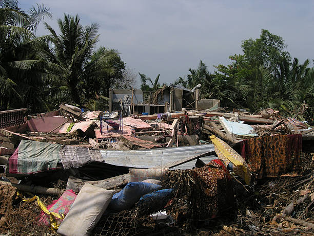
The Dickson Fjord collapse was remote, but it was not irrelevant. Scientists linked the failure to warming-driven glacier loss, and similar destabilization has already been documented in other Arctic and sub-Arctic settings. In Greenland, earlier landslide tsunamis have caused fatalities and long-term displacement in western fjords. Researchers also noted that cruise ships regularly pass through nearby routes during the ice-free season. The practical lesson is not limited to one fjord: remote polar landscapes are changing faster than many monitoring systems can track.
8. The mystery reshaped how future events may be detected
The Greenland signal showed that a fjord can advertise its internal motion through the Earth itself. That opens a new path for hazard detection in places where direct water-level instruments are sparse or too slow to capture short-period oscillations. Scientists are now searching older seismic records for similar repeating signals from other confined basins. They have already identified additional smaller events from the same Greenland gully, including some during winter ice cover. Better sea-level gauges, bathymetry, and satellite coverage could turn such odd global vibrations into a practical warning tool for landslide-tsunami hazards.
What began as a mountain collapse became an Earth-system chain reaction. Glacier thinning weakened a slope, the slope launched a mega-tsunami, the fjord trapped the wave, and the trapped wave pressed on the crust until the whole planet could hear it. In that sense, Dickson Fjord was not only the site of a rare disaster. It became a natural laboratory for understanding how climate change, basin geometry, and new observing technology are revealing forms of planetary motion that had long gone unnoticed.

