
“A magnitude 9 earthquake in the Pacific Northwest is commonly thought of as a single bad day. But the science of engineering and earth sciences suggests something much more: a rapid sequence of failure, flooding, and lockups that could persist long after the shaking stops, by decades.”
In the Cascadia Subduction Zone, it is not simply the headline number or the first tsunami wave that matters, but the compounding factors coastlines lowering, ports and bridges shutting down, and flood plains being redefined in an instant. The map can remain that way.
1. A 700-mile fault that can rupture as one system
The Cascadia Subduction Zone extends about 700 miles from Northern California to British Columbia, with signs of past great earthquakes occurring over thousands of years. The threat is not confined to a particular city or state line but is a linked zone that can cause regional shaking and near-field effects of a tsunami within a short time frame. The last full-scale occurrence was recorded in January 1700, with recurrence intervals generally measured in centuries rather than in generations.
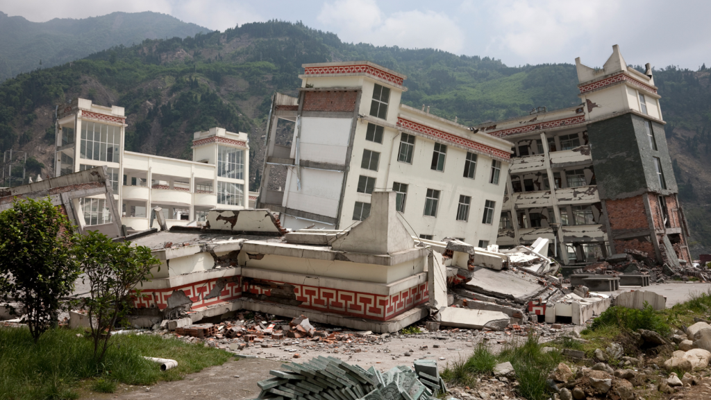
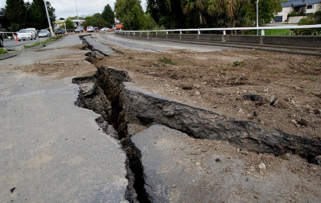
2. Shaking long enough to break lifelines, not just buildings
In a full margin event, intense shaking can continue for minutes, which is a period of time that pushes the limits of systems designed to withstand short bursts of shaking. Pipelines, water, and electric distribution systems fail in a manner difficult to compartmentalize, as damage occurs in thousands of locations simultaneously. This leads to a recovery process that is more about access, or the use of roads, bridges, and ports, than it is about the number of damaged facilities.
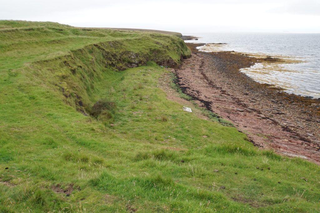
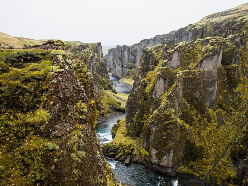
3. Permanent coastal subsidence causing the floodplain to immediately widen
One of the most definitive factors is not the presence of water coming from off the shore, but rather the land moving downward onshore. Simulations and observations have shown that the coastline can sink as much as 6.5 feet, increasing the flood zone by 35 to 116 square miles, putting new developments and essential areas at risk of constant flooding. Researchers at Virginia Tech were able to determine that the increased 1 percent floodplain can be a barrier to rebuilding because the ground level has changed.
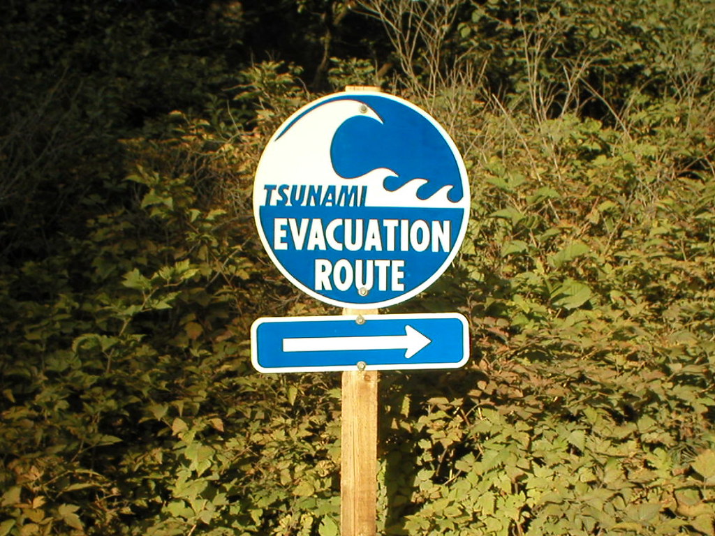
4. A tsunami clock measured in minutes, not hours
Near-field tsunamis compress decision time. In many coastal areas, evacuation becomes a race against the first wave, rather than against official warning. NOAA research simulations assume a Mw 9.0 earthquake and demonstrate the wave train registering with offshore sensors in 15 minutes, emphasizing the necessity of warning by shaking itself. Even if wave heights differ depending on bay shape and seafloor topography, the compressed time forces the planning process to concentrate on evacuation routes, vertical evacuation structures, and the integrity of warning signs when power and communications are down.
5. Flooding that persists after the sirens stop
The kind of disaster that results from instant subsidence is of a different nature altogether: it is the tidal kind that keeps coming back. Modeling shows that, following a large event in the current era, 14,350 more people, 22,500 buildings, and 777 miles of road could find themselves within the earthquake floodplain consequences that hinder the response to an emergency and the restoration of essential services. This is not sea-level rise; it is a step change that can convert “temporary” damage into a permanent land-use issue.
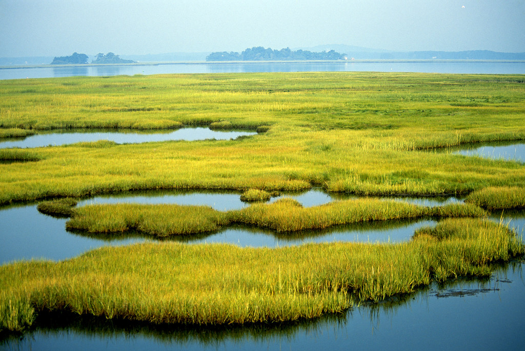
6. Wetlands and estuaries that transition from buffers to losses
Coastal ecosystems provide a natural infrastructure that reduces the energy of the surge and filters the water. As the land sinks and the salinity increases, the marshes and intertidal wetlands may collapse or transition to a tidal flat. Tina Dura described one of the less visible consequences: “The loss of intertidal wetlands directly affects ecosystem services such as water filtration, habitat for fisheries and shorebirds, and carbon storage capacity.” This is the loss of a natural system that functions to reduce the loads on the constructed infrastructure.
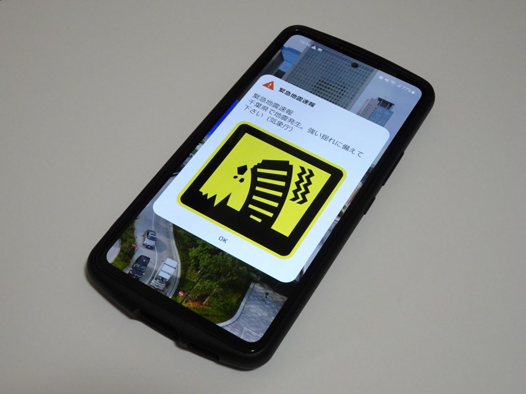
7. Early warning that must measure ground shift, not only shaking
Seconds count, but accuracy counts too, particularly for very large earthquakes. The upgrade plan for ShakeAlert now incorporates a geodetic algorithm referred to as GFAST (Geodetic First Approximation of Size and Time), intended to make use of the permanent displacement of the Earth’s surface as measured by GNSS sensors to provide a better characterization of M7+ earthquakes. The system already leverages 1,500+ seismic sensors and 760+ GNSS stations, enhancing the capacity to prevent underestimation of a megathrust earthquake in its earliest stages.
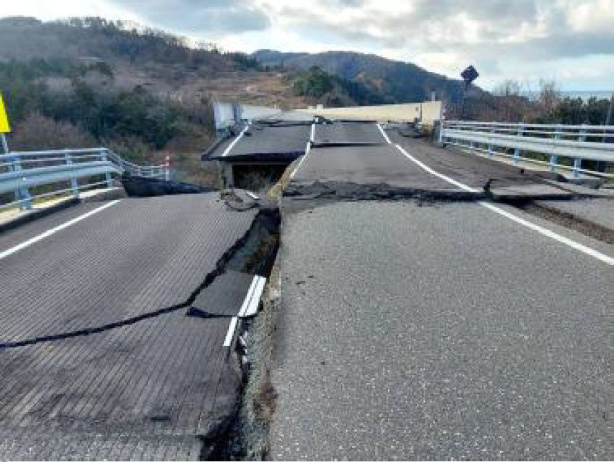
8. Bridges that decide whether aid moves or stalls
In the Portland area, the Burnside Bridge replacement project is frequently mentioned as an example of a project that is meant to be usable shortly after a major earthquake, keeping a vital route open for evacuation. However, major resilience projects can be stuck in design purgatory even as the threat itself has not changed, and the start date for Multnomah County’s project has slipped while funding is in question. The underlying engineering problem is one of network dependence, where having one “earthquake-ready” route is most important when other routes are also unavailable.
9. Preparedness funding that shapes what gets built before the ground moves
Some of the most critical life-saving upgrades vertical evacuation capability, hospital hardening, and resilient utilities require long-horizon mitigation projects. A federal court decision ruled that FEMA’s BRIC program could not be simply shut down, which has significant implications for projects that are designed with seismic and tsunami survivability in mind. In areas where the facility is located in low-lying ground, it is not just a matter of whether the structure will still be standing but also whether it can still be accessed, powered, and remain dry. Cascadian planning may start with earthquake size.
The engineering truth is a sequence: minutes of shaking, minutes to get to high ground, and years of living with changed shorelines, changed transportation routes, and a flood map that doesn’t revert. The most resilient preparations are those that consider the megaquake as a failure of regional systems where sensors, routes, bridges, hospitals, and the coastal ecosystem each have a role in determining how survivable the first day is and how rebuildable the next decades will be.

