

“A Cascadia megathrust earthquake is an engineering challenge that is measured in minutes and then managed for decades. The same fault system that has the potential to produce a long and violent shake also has the unusual ability to permanently reshape the coastusing roads, bridges, ports, and flood protection as the first line of recovery.”
The public focus tends to be on the magnitude number. For the Pacific Northwest, the more actionable message is in the coupled hazards: shaking that lasts long enough to shake out the structures, land that can drop quickly enough to change the flood maps, and waves that can outrun the evacuation. These are the realities that influence the design of the region’s “second system” by designers, emergency managers, and researchers to ensure that critical lifelines remain operational when conventional assumptions no longer apply.
1. The size of the fault requires designs to think in systems
The Cascadia Subduction Zone is about 700 miles long, from Northern California to British Columbia, with past occurrences that support the idea of giant ruptures over thousands of years. A full-margin rupture can cause shaking that lasts for minutes, with simultaneous damage, meaning that transportation, water, and communications can fail simultaneously, rather than sequentially. This is why planning exercises are done in terms of corridors and hubs, rather than individual assets. This is not “a bridge breaks” but “mobility disappears” for regions that rely on a few crossing points.
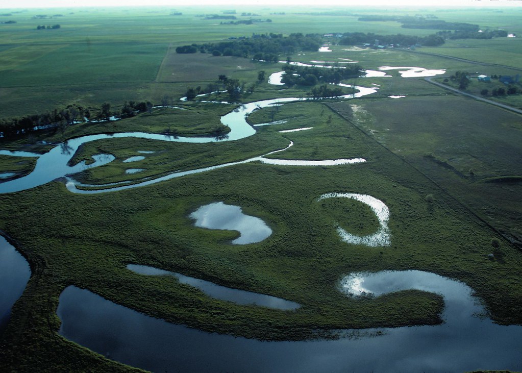
2. A large part of the risk is permanent: the coastline can fall
Subsidence is not a subsequent effect; it can happen during the earthquake itself. Modeling and geologic data indicate that the coastal land can sink by as much as 1.5 to 6.5 feet, increasing the floodplain that has a 1% annual chance of being flood-prone by 35 to 116 square miles. This is a sudden step change, unlike the steady increase of sea levels, and can leave structures, roads, and infrastructure in the tidal zone for hundreds of years.
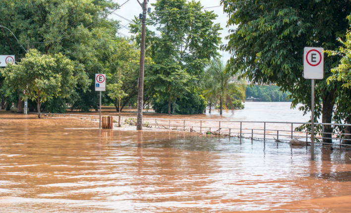
3. Flood risk grows in ways that would surprise communities’ planning horizons
In flood mapping after the quake, the numbers escalate rapidly: another 14,350 people, 22,500 buildings, and 777 miles of roads may lie within the newly designated flood zone, along with airports and essential facilities like schools, hospitals, and sewage treatment plants. The engineering reality is direct: recovery operations become more difficult exactly when they are needed most. A flooded substation, an impaired treatment plant, or a blocked road can impede the repair effort far inland, where lifeline systems are interdependent.
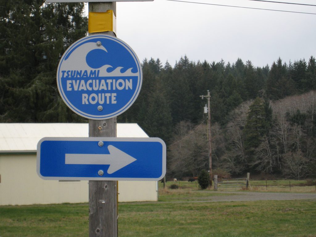
4. The timing of the tsunami transforms the earthquake into the first alert
The near-field tsunami waves can come ashore in 15 to 20 minutes, with multiple waves in one to two hours. In most places, evacuation windows have shrunk to the time it takes for shaking to cease and people to move on foot. The takeaway message for residents and visitors alike is implicit in physics: shaking strong or prolonged near the coast is the warning, regardless of whether there is a siren.
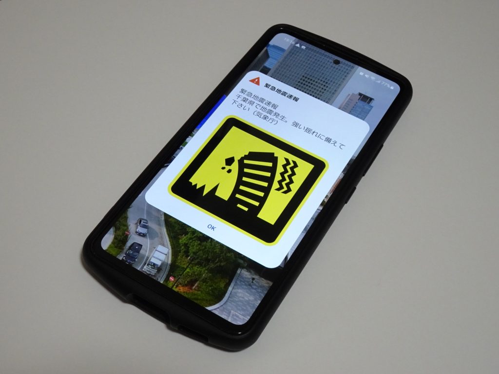
5. Early warning is evolving from “detect shaking” to “measure displacement”
The earthquake early warning system in the West Coast of the U.S. is based on a dense network of instruments and fast computation to provide seconds of warning before the strong shaking begins. ShakeAlert uses data from 1,500+ seismic stations and also includes geodetic data from 760+ GNSS stations to improve characterization of the actual size of very large ruptures. This is important because the standard seismic analysis can become saturated at M7, making it difficult to distinguish between a large earthquake and a megathrust earthquake in a short time. The GFAST geodetic algorithm is designed to avoid this problem of underestimation at M7+ earthquakes so that the warning area is more likely to match the hazard footprint.
6. Warning seconds may also be machine time, not only human time
Early warning can be thought of as an alert to “drop, cover, and hold on,” but perhaps the most resilient strength of early warning is its ability to act automatically. Early warnings can initiate protective actions like halting trains or turning off water valves, which can be done to prevent secondary damage and protect vital capacity for response. In an area where bridges, tunnels, and treatment plants are concentrated in waterways and soft ground, automatic protection can ensure that recovery is not derailed.
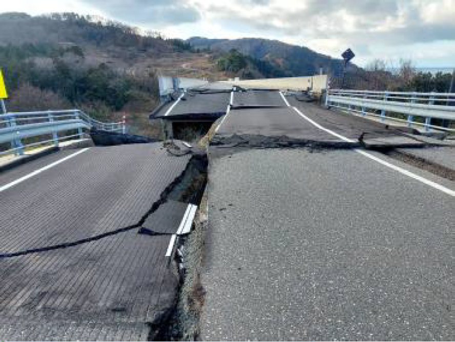
7. Bridge resilience now encompasses “repairability,” not just survival
Even if structures can be prevented from collapse, a damaged column or connection may render a corridor unusable. A research project for the Oregon Department of Transportation outlines a rapid repair concept that encases a damaged bridge column in a steel jacket and secures it with replaceable ductile fuse hold-downs. Full-scale cyclic tests have shown that the technique could restore or control strength without further damage, and a plan is emerging to reopen routes as a short-term engineering goal, in addition to replacement.
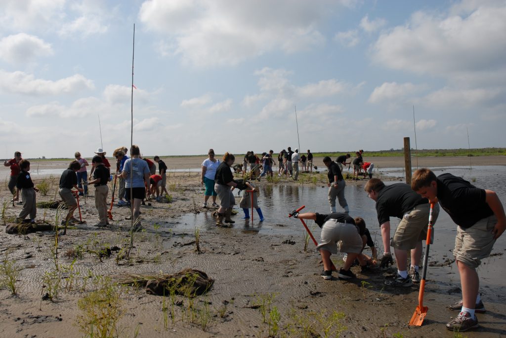
8. Wetlands and dunes are infrastructure, but not made of concrete
Coastal estuaries, intertidal wetlands, dunes, and beaches can reduce wave energy and protect against storm surge but are susceptible to subsidence and saltwater intrusion following a disaster. Tina Dura explained, “The destruction of intertidal wetlands affects the function of ecosystem services like water purification, fish and shorebird habitat, and carbon sequestration.” As these ecosystems are lost and converted to tidal flats, the area will see a loss of both protective and remedial capabilities, with the engineered barriers taking on an increased workload.
The Cascadia preparedness effort is often framed as a race against time. It is, in fact, a design problem: one that envisions the coupling of multiple hazards, designs measurement systems that accurately describe large events, and designs lifelines that can be reopened even if they are not yet fully repaired. The most significant change is of a conceptual nature. A Cascadia megathrust earthquake is more than a shaking problem it is a rapid transformation of land, water, and access, and the engineering solution is becoming more and more focused on this fact.

