
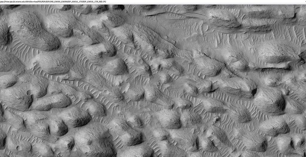
A faint radar echo beneath Mars’ south polar ice cap has thrown one of the planet’s most-debated mysteries into sharper focus. In 2018, a highly reflective zone deep beneath the ice at Ultimi Scopuli was detected by the European Space Agency’s MARSIS instrument on, prompting claims of a buried briny lake. Now, new SHARAD radar data from NASA’s Mars Reconnaissance Orbiter, made possible by an unprecedented spacecraft maneuver, tells a different story-and opens the door to probing Mars’ subsurface in ways never before possible.
1. Lake Hypothesis 2018 Meets New Data
Operating at low frequencies of 3–5 MHz, MARSIS was able to penetrate deep into the polar layered deposits of Mars. The bright basal reflections were interpreted as liquid brines, possibly sustained by high salt concentrations that lower the freezing point. Maintaining liquid water at a depth of ~1.5 km under the present climate of Mars requires basal temperatures near 200 K, which is far above estimates of normal temperatures. With higher-frequency pulses (15–25 MHz) and finer resolution, SHARAD had previously not reached those depths until now.
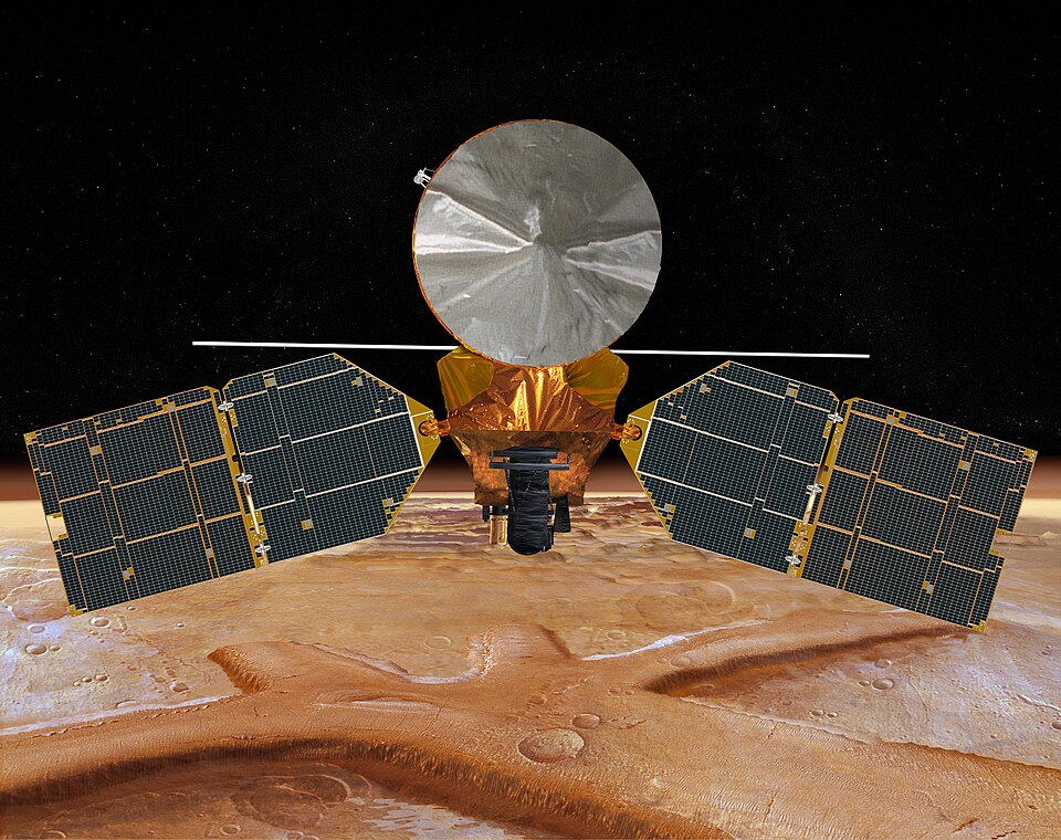
2. Engineering the 120-Degree “Very Large Roll”
The radar antenna is situated at the rear of MRO and is partially occluded by the body of the spacecraft. A specific 120° roll maneuver, very far outside the normal limit of 30°, was developed by JPL and Lockheed Martin to enable the radar to have an unobstructed line of sight during observations. This Very Large Roll (VLR) enhances signal-to-noise ratios by as much as 14 dB, allowing Shoemaker to penetrate through as much as 1.5 km of ice to reveal interfaces that were not previously visible. This maneuver requires careful sequencing: solar arrays are moved to zero gimbal angles to prevent the sun from shining on them; execution in Mars’ shadow protects sensitive instruments from direct sunlight; and execution timing must be controlled to avoid sunshine during the roll.

3. SHARAD’s South Pole Test
On May 26, SHARAD flew a VLR over Ultimi Scopuli right over the MARSIS anomaly. It detected a faint echo, rather than the bright return expected by the strong reflectivity of liquid water. Gareth Morgan suggested, “If it is there, SHARAD should also see a very bright reflectance spot, and we don’t.” A weak signal suggests a smooth solid interface, probably ancient lava flows or compacted sediments, rather than a briny lake.
4. Reconciling Radar Differences
Differences between MARSIS and SHARAD may be explained by frequency-dependent interactions with subsurface materials. Lower-frequency MARSIS waves are less attenuated by dust or impurities in the ice, whereas SHARAD’s higher frequencies are more susceptible to scattering and dielectric contrasts. Saline ice, hydrated clays, or Fe-rich basalt are alternative explanations for MARSIS’s bright returns that can also give strong reflections independently of liquid water.

5. Thermal Constraints on Subsurface Water
Detailed modeling of the SPLD composition based on dust contents of 5-12% has significant effects on thermal conductivity and radar attenuation. Basal temperatures are unlikely to exceed ~193 K, even considering insulating effects due either to dust or to CO₂ ice, and thus remain well below the eutectic points of perchlorate or chloride brines. Stable liquid water is therefore unlikely in the absence of localized geothermal heating.
6. Medusae Fossae Formation Expanding the Search:
The VLR technique is bound to probe further into those enigmatic regions, now including the equatorial flanks of Mars: the Medusae Fossae Formation. MARSIS data from the subsurface radar instrument onboard Mars Express indicate that its massive up-to-3.7-km-thick deposits might hold layered ice mixed with dust, which could thus form the largest low-latitude water reservoir to date. If confirmed, this ice could also supply water for future human missions while offering a resource-rich landing site with favorable sunlight conditions.
7. Maneuver Risks and Mission Planning
Performing a VLR shuts down solar power generation and communications for a period, drawing exclusively on battery reserves. The thermal stability of instruments must be ensured, and the spacecraft’s attitude has to be carefully managed to prevent damage to sensitive optics. Current constraints allow polar VLRs to be performed only during narrow seasonal windows-about once every two years-but it may be possible to access midlatitude targets more frequently if procedures can be standardized.
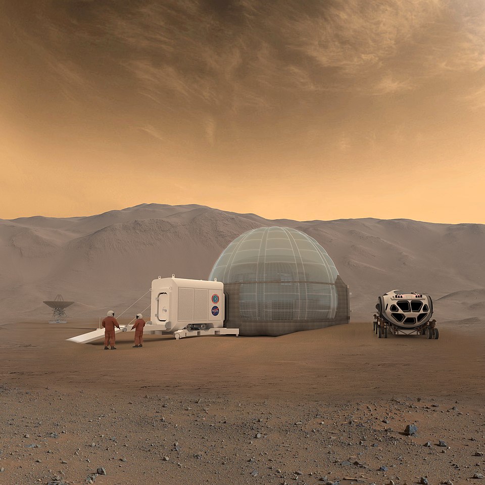
8. Implications for Human Exploration
Finding accessible ice at mid- to low latitudes is crucial for crewed missions. The ice can be processed into drinking water, oxygen, and hydrogen fuel, saving payload mass from Earth. While the SWIM project and a possible Mars Ice Mapper mission would have charted such deposits, VLR-enabled SHARAD observations provide instant high-resolution subsurface data to inform landing site selection.
9. Future Targets and Scientific Payoff
Future VLR campaigns will be revisiting the core anomaly of Ultimi Scopuli in May 2025, investigating suspected ice-rich areas in both Deuteronilus and Protonilus Mensae, and studying volcanic terrains in Tharsis and Elysium Planitia. These might uncover deep glacial bases, internal layering, and hidden reservoirs, which could help refine models of the climate history and water distribution on Mars.
While the faint echo beneath Mars’ south pole may have dimmed hopes for a present-day subglacial lake, the engineering breakthrough behind its detection has illuminated a new path. By rolling MRO far beyond its design limits, researchers have unlocked a deeper and clearer look at the Martian subsurface-a capability that will shape both the search for ancient water and the blueprint for human exploration.

