
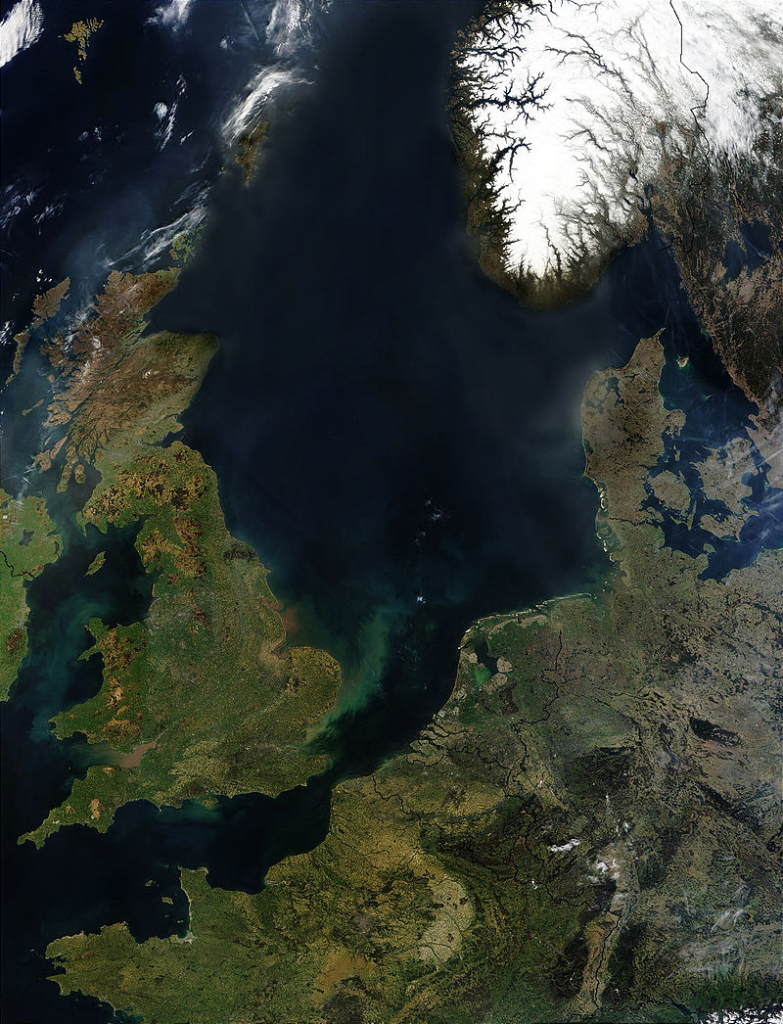
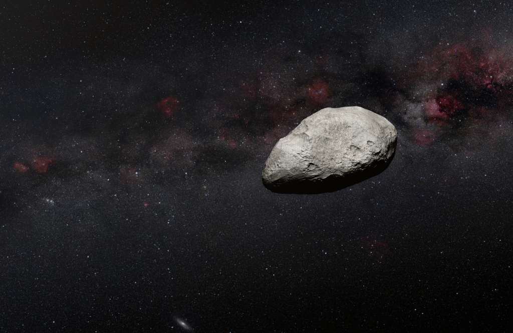
For forty years, the Silverpit Crater under the southern North Sea has been a geological mystery. Was it the impact scar of a giant asteroid collision or the result of more ordinary subsurface activity? New high-resolution seismic imaging, microscopic mineral analysis, and numerical impact modeling have now provided a final answer: an asteroid, measuring 160 meters in diameter, crashed into the seabed some 43 to 46 million years ago, generating a tsunami over 100 meters in height and leaving behind one of the planet’s few marine impact craters.
1. Seismic Imaging Reveals Subsurface Architecture
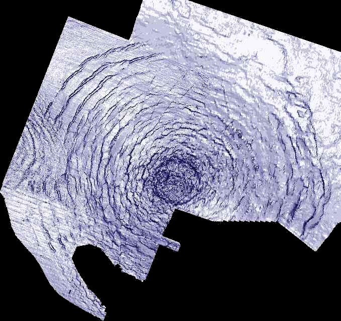
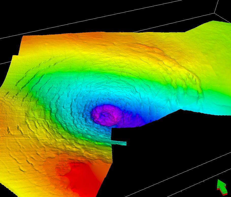
The innovation came in the form of pre-stack depth migrated 3D seismic data supplied by the Northern Endurance Partnership. The dataset provided complete coverage of the central uplift of the crater and unprecedented resolution of its internal structure. The crater is characterized as a 3.2-kilometer-wide circular depression with concentric faulting that extends into the Upper Cretaceous chalk and Paleogene sediments.
Seismic horizons CF1 and CF2 are distinct and indicate the crater floor, which is divided by a see-through crater-fill package with thickness ranging from 60 meters in the central basin to less than 10 meters at the outer rim. Terraced walls, a central plateau, and an annular moat replicate the morphology of sophisticated impact craters found on both Earth and other planets.
2. Shocked Minerals Verify Hypervelocity Impact
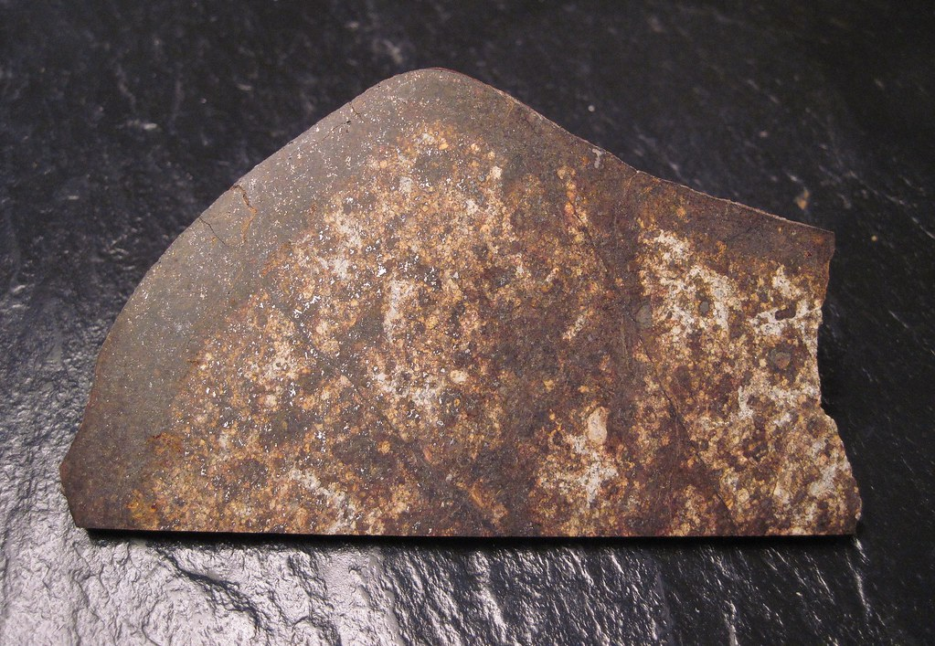
Rock samples from well 43/25-1, which are but a short distance northwest of the rim, produced unusual grains of quartz and potassium feldspar with planar deformation features (PDFs). These microscopic lamellae, absolutely parallel and ranging in distance from 1 to 7 microns, are flecked with fluid inclusions shock pressure signatures between 10 and 13 gigapascals. “These confirm the impact crater hypothesis beyond any doubt, because they have a fabric which can only be produced by extreme shock pressures,” explained Dr. Uisdean Nicholson. These kinds of deformations cannot be duplicated through volcanic, tectonic, or salt-withdrawal processes, which made them the gold standard for validating impact origins.
3. Numerical Modeling of the Impact Event
Reconnaissance simulations simulated the impact into a five-layer target: 100 meters of water, 300 meters of ductile Paleogene clay, 600 meters of brittle chalk, 300 meters of mudstone, and lower Triassic sediments. A 15 km/s impactor created a transient crater 1 kilometer deep and 3 kilometers wide in 12 seconds. Shock pressures reached over 30 GPa close to the center of impact, digging Paleogene clay completely off top of the chalk. Stages of collapse expanded the crater by over 30%, then resurge flooding for minutes carved scarps and emplaced reworked ejecta.
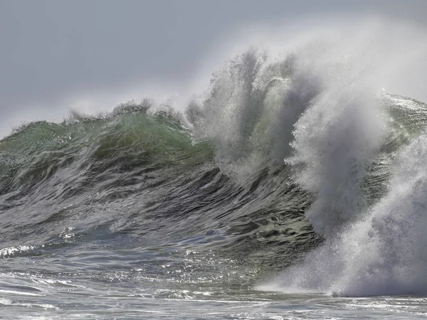
4. Tsunami Generation and Marine Consequences
The simulated effect created a 1.5-kilometer-tall veil of rock and water, which fell to create a tsunami over 100 meters tall. Such waves would have destroyed coastlines and reformed marine sedimentary environments throughout the region. Resurge scars and secondary craters up to 150 meters wide recognized on seismic maps confirm the turbulent hydrodynamics in the first moments after impact.
5. Geological Context and Preservation
Silverpit is 700 meters under the seafloor, some 80 miles from Yorkshire. It is exceptionally well-preserved; plate tectonics and erosion have destroyed most oceanic impact structures over geological time. Of the 200 currently known terrestrial impact craters, only around 33 are marine. Early burial under sediments protected Silverpit from deformation, which means that scientists can examine features found only exceptionally in oceanic craters, including secondary craters and intact concentric fault networks.
6. Settling a Decades-Old Scientific Controversy
Interpretations of the origin of Silverpit since its discovery in 2002 are divided in the geological community. Its central peak and concentric faults were originally used by early advocates as impact indicators, while others suggested salt withdrawal or volcanic collapse. In 2009, a Geological Society debate concluded with 80% rejecting the impact hypothesis. Professor Gareth Collins, who has given the numerical models for the new research, said, “I always thought that the impact hypothesis was the most straightforward explanation and one that was most in line with the observations. It is hugely rewarding to have finally discovered the silver bullet.”
7. Implications for Planetary Science
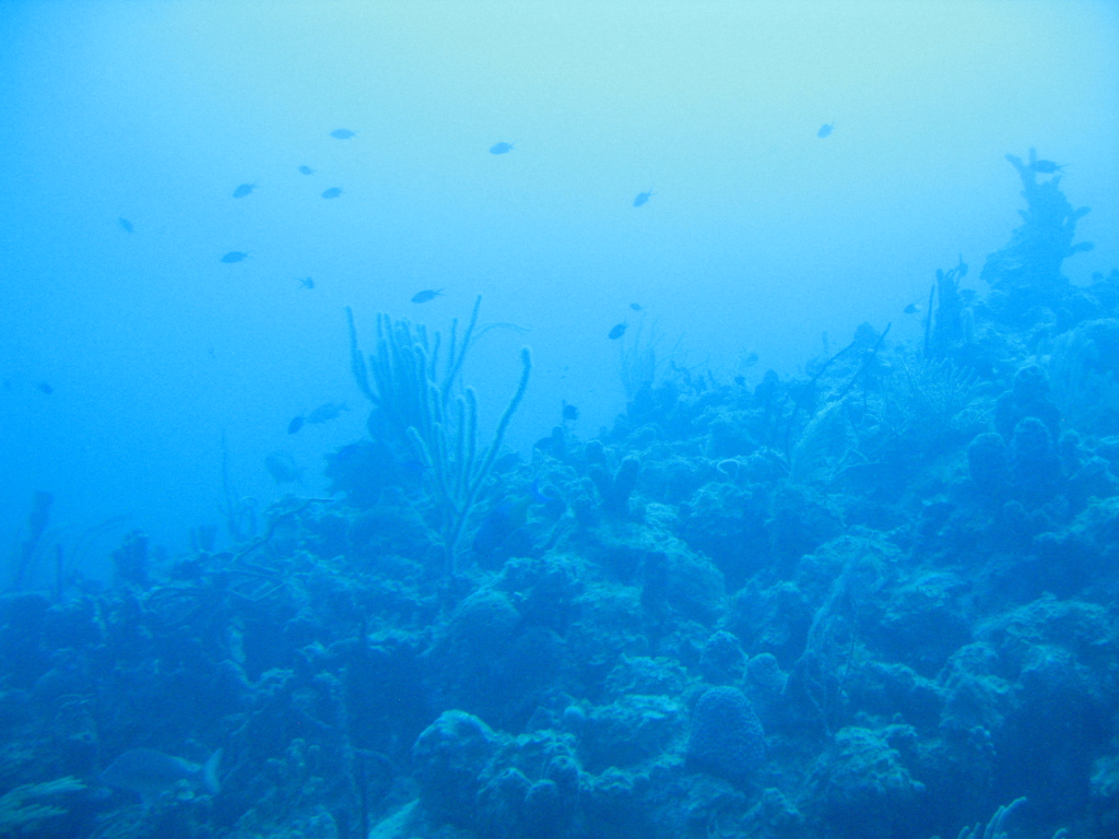
Silverpit’s validation puts it in the league of other marine craters like Chicxulub and the Nadir Crater, adding to the dataset for comprehending asteroid impacts on planetary surfaces. Marine impacts are distinct from those on continents in ejecta distribution, crater morphology, and post-impact sedimentation. The information gathered from the structure and tsunami deposits of Silverpit will improve hazard models for future asteroid impacts, especially within oceanic environments.
Silverpit Crater is today a unique, exceptionally well-preserved document of a hypervelocity sea impact, its mineralogical and seismic imprints sealed away at the bottom of the North Sea.

