
Louisiana’s scientists and coastal engineers have long warned that without major sediment diversions, the state’s wetlands will continue to vanish into the Gulf of Mexico. Now that the abrupt cancellation of the $3 billion Mid-Barataria Sediment Diversion, one of the nation’s most ambitious environmental engineering projects, has become a political reality, their warning has become reality in politics as well.

1. A Century of Land Loss Meets a Political Reversal
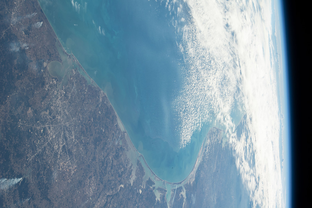
Louisiana already lost about 2,000 square miles since 1932, a retreat driven by levee construction, oil and gas development, subsidence, and more accelerated sea-level rise. The Mid-Barataria diversion was designed to restore contact between the Mississippi River and the Barataria Basin, delivering up to 75,000 cubic feet per second of sediment-bearing water through an engineered intake at River Mile 60.7. The goal: to restore as much as 20 square miles of wetlands within 50 years, strengthening storm protection and environmental resilience. Bipartisan support had driven the project through administrations until Governor Jeff Landry, for the sake of cost, lawsuits, and impacts on fisheries, killed it in 2025.
2. Engineering the River’s Ancient Land-Building Process
The diversion’s design sought to mimic the delta-forming processes that built coastal Louisiana over millennia. Hydraulic simulation by the U.S. Army Corps of Engineers projected that regular high-flow pulses would encapsulate mineral sediment deep in the Barataria Basin, increasing soil density and reducing hurricane susceptibility. The intake structure, gates, and outfall channels were designed to control sediment grain size, flow velocity, and seasonality pivotal parameters in optimizing land retention.
3. The Sediment Shortage Science
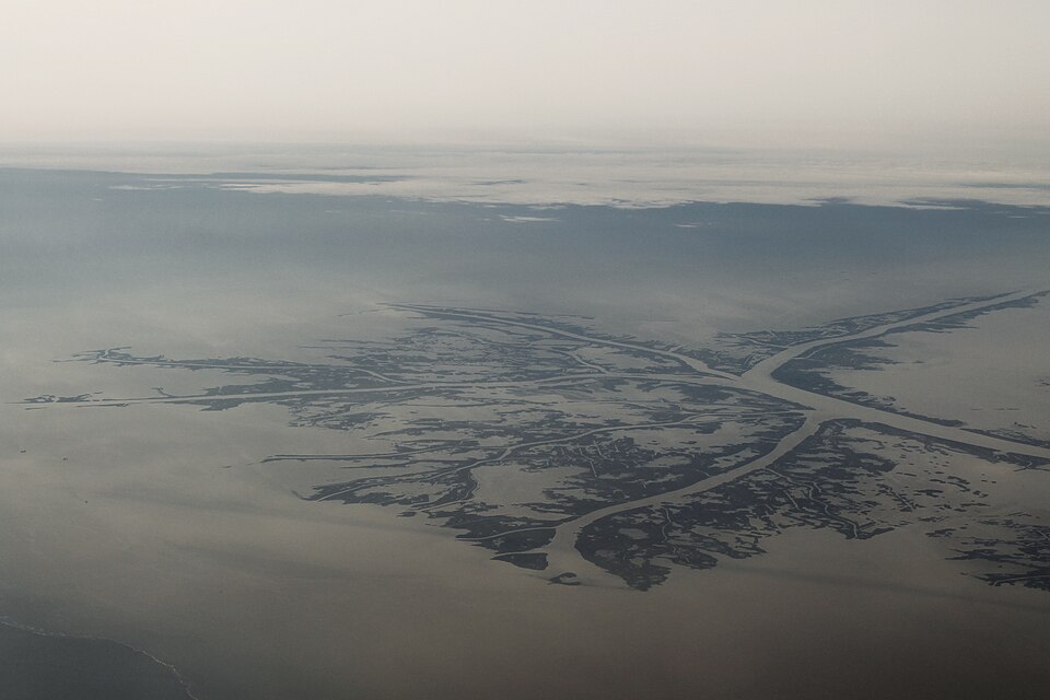
Research by the Mississippi River Delta Transition Initiative shows that less than 10% of the sediment that constructs land along the river makes it to the Bird’s Foot Delta. Most of it exits upstream through distributaries like Neptune Pass. Sediment diversions like Mid-Barataria were planned to capture this “white gold” before it escapes into deep water. Without these measures, estimates show that Plaquemines Parish stands to lose more than half of its land surface by 2070.
4. Climate Change and Design Constraints
Sea levels along portions of coastal Louisiana are increasing at nearly four times the worldwide rate. Engineering designs for Mid-Barataria involved cases up to five feet of rise by 2100, as well as more severe extreme storms. The operation plan for the diversion incorporated adaptive gate operation to balance sediment delivery with salinity management, to keep both wetlands and estuarine habitats intact.
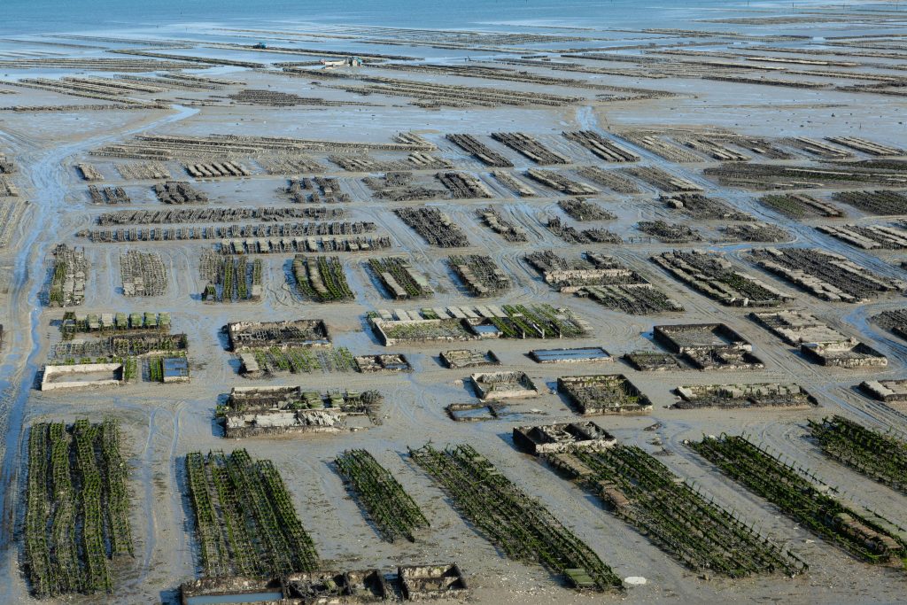
5. Fisheries, Oysters, and Salinity Transitions
Plaquemines Parish oystermen opposition centered around the threat posed by prolonged low-salinity duration. Oysters thrive in brackish water between 5 and 15 parts per thousand salinity; long pulses of freshwater may lead to mass death. The state allocated $54 million for oyster industry mitigation and $378 million for more widespread community impacts, such as aquaculture innovation and reef relocation. Critics regarded these as insufficient to counteract economic dislocation.

6. Legal and Regulatory Challenges
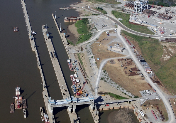
The project’s magnitude triggered a series of compliance requirements under the Clean Water Act, National Environmental Policy Act, Endangered Species Act, and Marine Mammal Protection Act. The Corps’ Final Environmental Impact Statement, released in 2022, led the way for construction but court lawsuits alleged inadequacies in environmental studies and harm to bottlenose dolphins and essential fish habitat. In April 2025, the Corps put the Section 404 permit of the project on hold due to withheld information and outstanding flood insurance compliance.
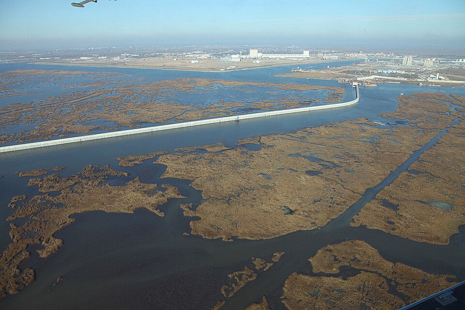
7. From Keystone to Myrtle Grove
With Mid-Barataria put on the backburner, the Coastal Protection and Restoration Authority is looking at the Myrtle Grove Medium Diversion with Dedicated Dredging. At a cost of $278.3 million, this project will divert 2,500 to 15,000 cfs via a lower intake at River Mile 58.5 supplemented by a 12-mile pipeline for sediments. Hydraulic modeling expects yearly benefits of up to 200 acres and maintenance of 33,880 acres for 50 years, significantly smaller in scale than Mid-Barataria but potentially less devastating to fishery.
8. Alternative Sediment Management Plans
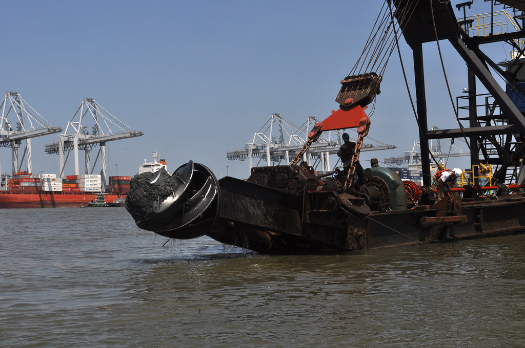
Sediment retention facilities and dredge placement strategy are also being contemplated by engineers. Partially closing off Neptune Pass, as Army Corps has suggested, would redirect sediment into the Barataria Basin and reduce navigational hazard. Other concepts include pumping sand to strategic outlets for discharge, so natural hydrodynamics can dissipate it into marsh-building channels.
9. The Cost of Delay
Time is the most critical variable. As Amanda Moore of the National Wildlife Federation warned, “It took us decades to get a project like this moving forwar you’re gonna be looking at least a decade or more if you’re gonna see something else come through.” With land disappearing at the rate of a football field every 100 minutes, each year without large-scale sediment delivery compounds the challenge.
The stripped levee along Ironton, initially slated for the diversion intake, now stands as a witness to the gap between Louisiana’s engineering ambitions and political will. To coastal engineers and scientists, the question now isn’t whether or not the river can create land it is whether the state can act fast enough to let it.

