
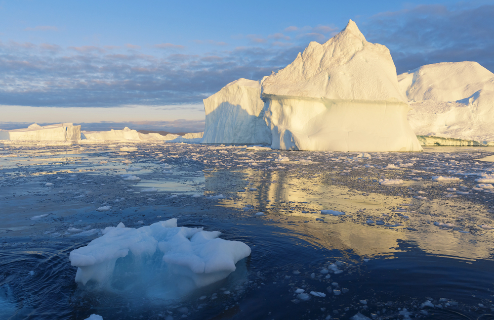
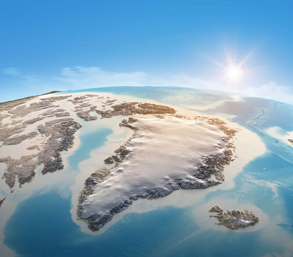
What if the deadliest floods on the planet are the ones that no one can detect until the ice itself bursts? In 2014, a secret lake under the ice sheet of Greenland released a flood so massive it ripped a crater almost a kilometer deep through the ice, unleashing 90 million cubic meters of water flowing upward in only ten days. This unprecedented event, in terms of scale and violence, in Greenland’s history, has compelled scientists not only to reexamine the mechanics of subglacial hydrology but also the trustworthiness of climate models applied to predicting ice sheet reactions to warming.
1. Magnitude and Dynamics of the 2014 Subglacial Outburst
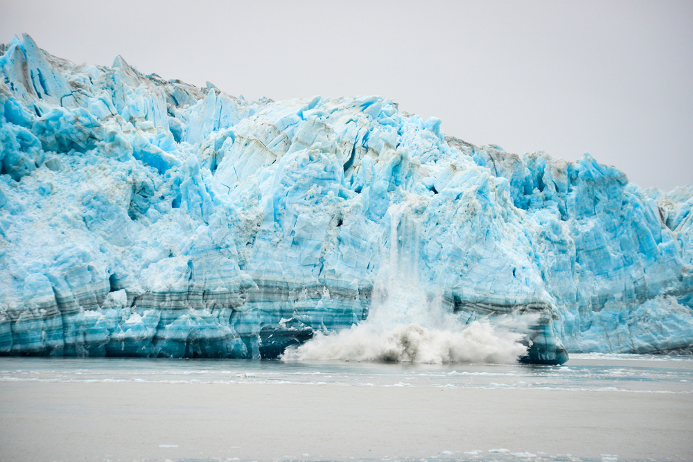
The mere power of the flood was unprecedented: its nine hours of Niagara Falls at flood discharge volume excavated an 85-meter-deep, two-square-kilometer crater in the ice surface. NASA and European Space Agency satellite observations enabled scientists to reconstruct the event at high resolution, showing a quick, catastrophic release of a hitherto unknown subglacial lake.
As Dr. Jade Bowling, senior author of the Nature Geoscience paper, explained, “When we initially saw this, because it was so surprising, we thought there must be something wrong with our data. But as we pursued our analysis, it became evident that what we were looking at was the tail end of a vast flood of water surfacing from beneath the ice.” The tail end of a vast flood.
2. Mapping the Aftermath: Fracture Zones and Scoured Ice
Below the rupture, the terrain was reshaped. Scientists reported 385,000 square meters of broken and deformed ice, a 54 football field-sized area filled with crevasses and blocks of ice up to 25 meters tall. Besides this, a six-square-kilometer area of ice had been swept clean by the floodwaters. None of these characteristics had been present prior to the event, suggesting that the eruption had radically transformed the structure of the ice sheet. As explained in the study, “a newly formed zone of fractures appeared in the ice surface, consisting of crevassing and uprooted ice blocks with a combined height (crevasse depth plus ice block height) of 40 metres.” Fractures in the ice surface.
3. Satellite Remote Sensing: Revealing Concealed Hydrology
All this was made possible by a set of remote sensing technologies. The high-resolution digital surface models of the ArcticDEM project, registered with ICESat-2 laser altimetry, allowed accurate mapping of pre- and post-flood elevation changes. Optical and radar imagery of Sentinel-1, Sentinel-2, and Landsat-8 added context to ice flow and structural evolution tracking. The merging of these streams of data is a prime example of how satellite remote sensing has become an unavoidable tool for observing subglacial processes that otherwise are not visible to field observation, satellite measurements of Earth’s polar ice sheets.
4. Fracture Mechanics: Hydrofracture in Cold-Based Ice
Possibly most dramatic was the flood mechanism. Previous models had suggested that the bed of ice in the region was frozen, but the event showed that pressure-ridden hydrofracture can push water not just along the bed but up through the column of ice, even in cold-based environments. This contradicts the traditional perception that meltwater always moves from the surface down to the bed and then out to the ocean. Rather, the floodwater spread upward and ruptured the ice and exploded on the surface, a process that currently is not included in most models of ice sheets. Theoretical models confirm this: “a purely hydrofracture-driven process provides a simpler and theoretically plausible mechanism, with analogies to the observed role of a frozen bed in driving floodwater to the surface” hydrofracture-driven process.
5. Implications for Ice Sheet Hydrology and Model Accuracy
The 2014 experiment reveals stark limitations of existing ice sheet models, which tend to take basal ice to be uniformly frozen or thawed and water flow as one-directional. As Dr. Amber Leeson has explained, “What we have found in this study surprised us in many ways.”. It has shown us novel and surprising insights into the manner in which ice sheets may react to very large inputs of surface meltwater.” The existence of subglacial lakes and the likelihood of their rapid drainage, particularly in areas of cold-based ice, poses a new category of hydrological perturbations that can destabilize ice sheet flow and structure novel and novel things.
6. Sea-Level Rise: The Hidden Amplifier
The implications stretch beyond Greenland. Past research in Antarctica has established that the inclusion of dynamic subglacial hydrology in ice sheet models can double the estimated ice discharge and contribute more than two meters of global sea level rise by 2300, double the amount of ice delivered to the ocean. The dynamic coupling between subglacial water, ice flow, and fracture mechanics also implies that massive outburst floods are likely to occur more frequently and have greater consequences as surface melting accelerates with climatic warming. “Not accounting for subglacial water underestimates global sea-level rise projections by as much as two meters by the year 2300,” says Dr. Chen Zhao. Sea-level rise projections are underestimated.
7. Future Directions: Monitoring and Modeling the Invisible
The 2014 Greenland flood highlights the necessity of more extensive monitoring and modeling of subglacial hydrology in the short term. Technological advances in radar echo sounding, laser altimetry, and machine learning subglacial lake detection algorithms are pushing the observational capabilities of automatic detection of subglacial water bodies. Yet enormous areas are still unexplored, and the interactions between subglacial lakes, drainage routes, and ice dynamics are still not well understood. As satellite missions develop ever higher spatial and temporal resolution, and as models start to include the intricate mechanics of hydrofracture and changing water pressures, the scientific community stands poised to unravel the subterranean processes governing ice sheet stability.
The 2014 Greenland outburst flood is a stark reminder: under the seeming quiet of the world’s massive ice sheets, great forces are operating forces capable of remaking landscapes, boosting sea-level rise, and confounding our best projections.

