
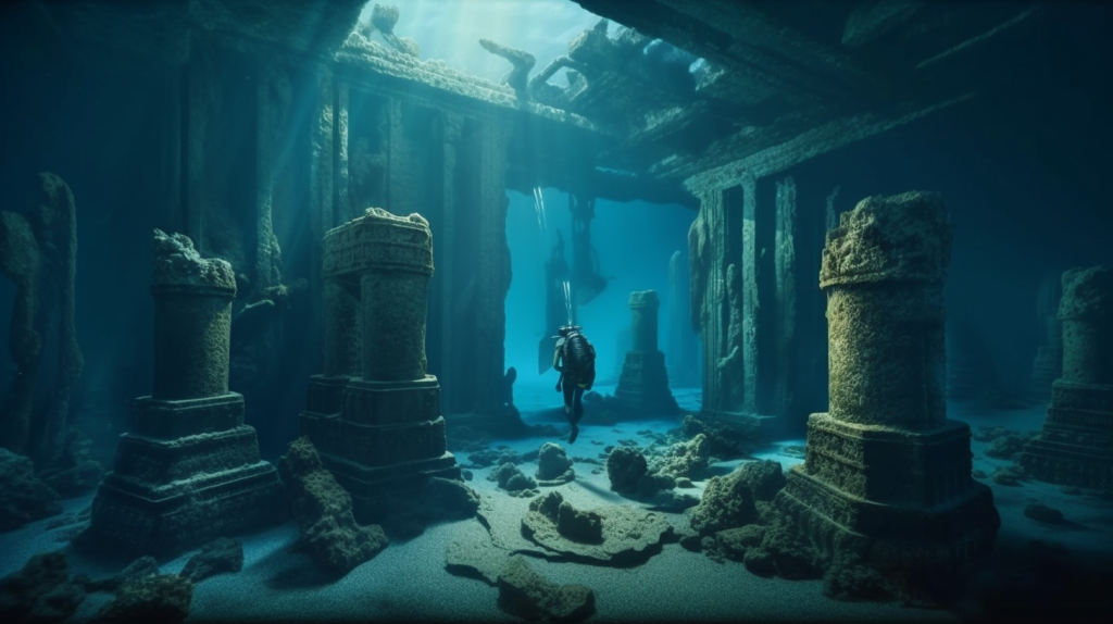
The North and Baltic Seas, once vast plains abounding with life in prehistoric times, now hide a world underwater that is fast disappearing beyond our grasp. As the competition to construct offshore wind farms grows more heated, a one-of-a-kind partnership SUBNORDICA has rallied scientists, engineers, and archaeologists throughout northern Europe to unravel the mysteries of these drowned worlds before the window of opportunity slams shut for good.
1. The Urgency of Submerged Archaeology
The sense of urgency is there. “We know almost nothing about the people who lived on these great plains,” declared Professor Vincent Gaffney of the University of Bradford, leader of the Submerged Landscapes Research Centre. Twenty-thousand years ago, global sea level was 130 metres lower than at present, exposing more than 3 million square kilometers of land along Europe’s coastlines prime territory for human settlement. As climate change speed up the growth of green energy installations, particularly offshore wind farms, these underwater locations are poised to be made inaccessible, and hence the present moment stands as a pivotal one for archaeological exploration as outlined by the SUBNORDICA crew.
2. SUBNORDICA: A Synergy of Science and Technology
SUBNORDICA, aided by a €13.2 million European Research Council Synergy Grant, brings together talent from the University of Bradford, Moesgaard Museum, Aarhus University, and Lower Saxony Institute for Historical Coastal Research. The aim of the project is certain: to use the most advanced marine geophysical and computing methods to delineate, model, and understand the Stone Age landscapes currently submerged under the sea as described by the University of York. These consist of the renowned Doggerland, an area that formerly linked Britain to continental Europe and has been believed to have thrived around 8,200 years ago.
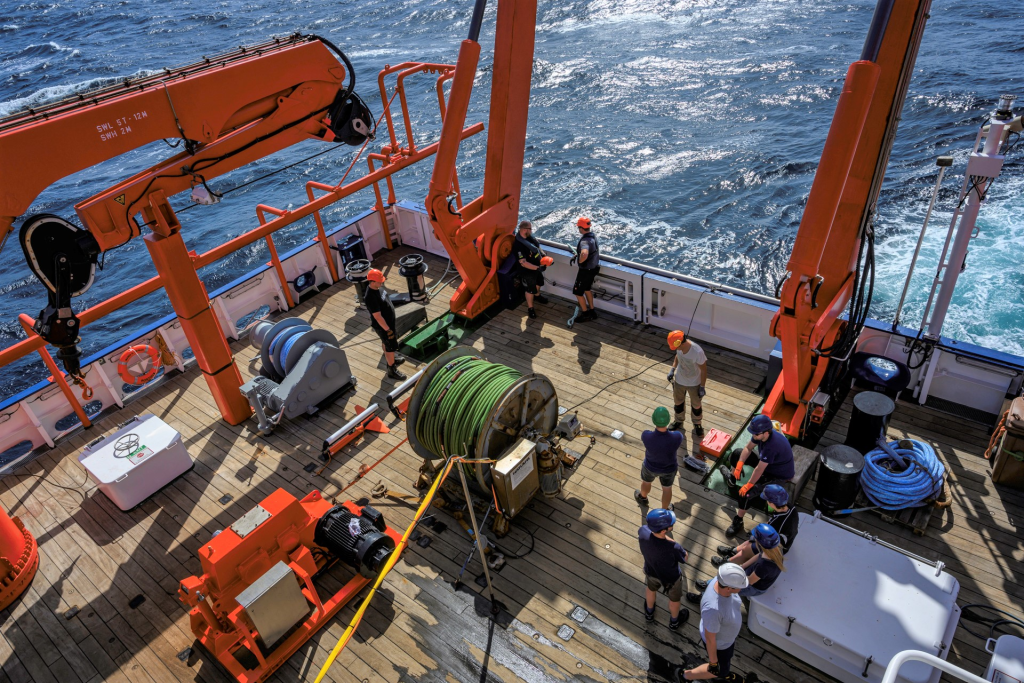
3. Advanced Marine Geophysical Survey Techniques
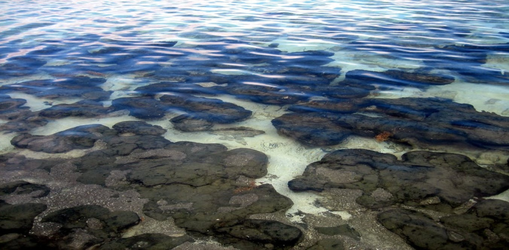
Sophisticated marine geophysical techniques lie at the center of the survey. High-resolution seismic and acoustic surveys, such as sub-bottom profilers (SBP), multibeam echosounders, and side-scan sonar, are utilized to create high-resolution 3D models of the seabed and subsurface in recent shipwreck research. SBPs, especially chirp systems, sweep across a spectrum of frequencies to penetrate to 20–30 meters into unconsolidated sediments with vertical resolutions at the decimeter scale. These technologies expose not just the shape of ancient shorelines and river channels but also the location of organic-rich peat deposits and potential archaeological horizons all indispensable for reconstructing paleoenvironments and locating potential sites of settlement as in Gulf of Mexico palaeolandscape projects.

4. AI and Predictive Modeling: Speeding Discovery
Artificial intelligence is transforming underwater archaeology. Machine-learning algorithms scan large data sets of sonar, seismic, and magnetometer surveys for automatic detection of weak anomalies that could represent human presence like depressions, linear features, or sediment composition changes based on recent applications of AI technology in maritime archaeology. Predictive models powered by AI combine environmental, geological, and archaeological information to produce probability maps and identify “hotspots” where further exploration should be focused. Dr. Katrine Juul Andresen from Aarhus University underlined, “By using AI, we will make data integration possible across the North Sea and Baltic Sea and additionally enable automated interpretations of the main landscape features.”
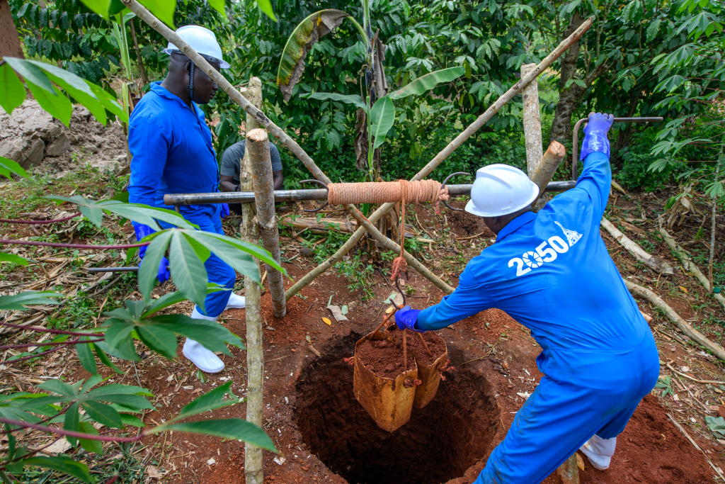
5. Boreholes and Palaeoenvironmental Analysis
Geotechnical boreholes are placed strategically at locations indicated by geophysical and AI analysis. Core samples yield a vertical record of sedimentary history, allowing palaeoenvironmental reconstruction by radiocarbon dating, pollen analysis, and microfossil identification. These techniques have uncovered in situ tree stumps, fossil peat beds, and lake deposits irrefutable proof of terrestrial habitats now underwater as illustrated in the Tudse Hage case study. Such evidence is fundamental for reconstructing former coastlines and analysing the resource strategies of Stone Age communities.
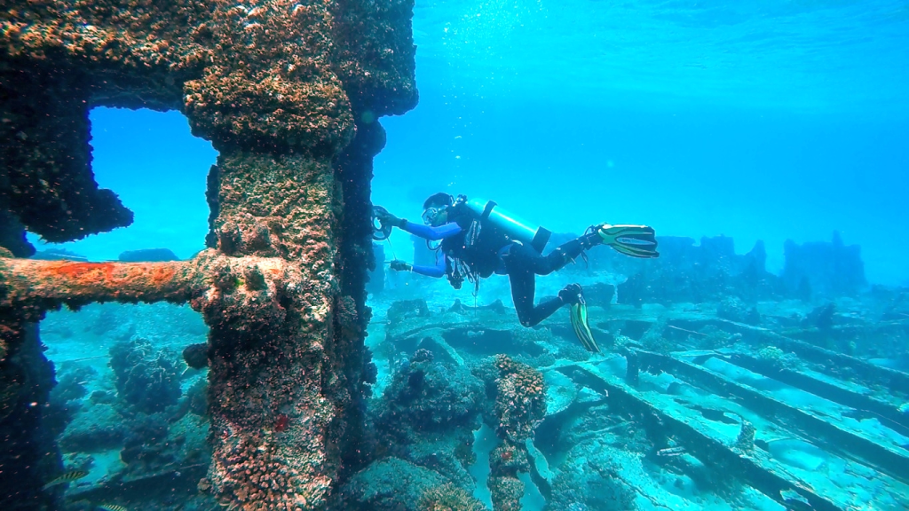
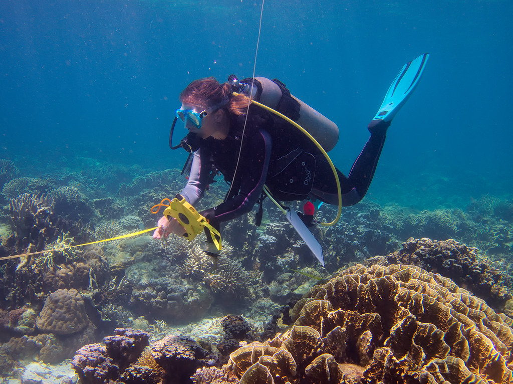
6. Diving Surveys and Ground Truthing
While remote sensing and AI can identify promising targets, direct observation remains indispensable. Diving teams conduct ground-truthing surveys, particularly in accessible areas like Aarhus Bay, Denmark. Submerged archaeologist Peter Moe Astrup clarified, “By using diving surveys in Aarhus Bay we will establish how common coastal settlements were in relation to settlements in the interior and establish how marine resources were used 9000 to 8500 years ago.” Hands-on method confirms remote-based findings and retrieves artifacts for further analysis.
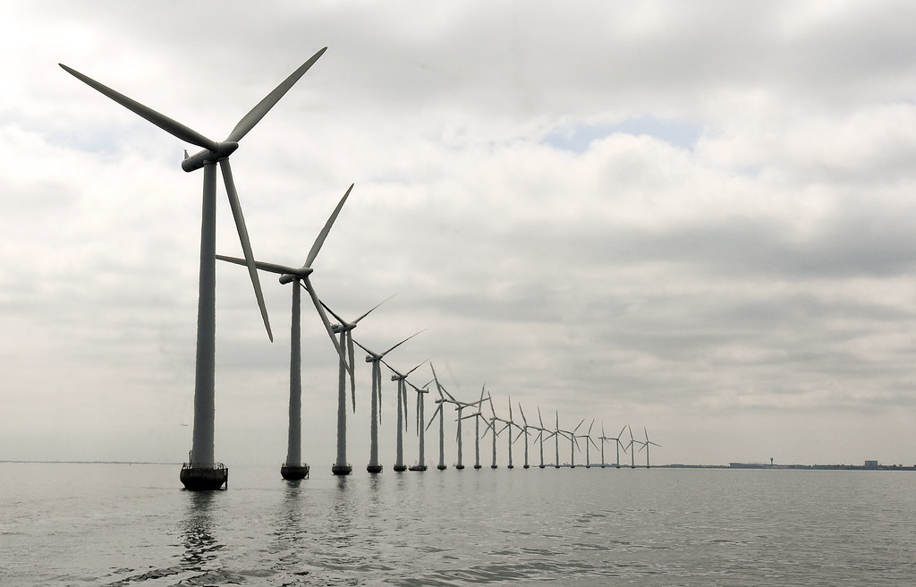
7. The Influence of Offshore Wind Development
The growth of wind farms offshore, essential to the net-zero aspirations of Europe, is both a threat and an opportunity. While, on the one hand, wind farm environmental impact assessments have yielded enormous amounts of high-resolution geophysics data, many reused in archaeological research as exemplified by marine development legacy studies,. On the other hand, once the turbines are in place, physical access to these sites becomes drastically limited, potentially sealing off untapped archaeological riches. This dynamic has seen increased “rescue archaeology” activity, with researchers scrambling to record and save submerged heritage before it is irretrievably lost to infrastructure.
8. Data Integration and Public Benefit
The unprecedented volume of data produced by SUBNORDICA and associated projects is being handled using cutting-edge computing facilities, located at the University of Bradford. Synthesizing existing geophysical data, newly acquired survey findings, and AI-generated outputs, the project seeks to develop seamless, accessible digital repositories and predictive models. This not only progresses academic scholarship but also educates ethical seabed development and public policy to ensure that the heritage of these submerged landscapes is maintained for generations to come as emphasized by SUBNORDICA’s outreach.
As the Baltic and North Seas keep evolving from the combined stresses of renewable energy expansion and climate change, the intersection of archaeology, marine geoscience, and high technology presents a brief but potent window to shed light on the deep past before it’s really out of reach.

