
Is the Earth’s most unstable volcanic arc stirring? In the past several months, a chain of volcanoes along the Pacific Ring of Fire from Alaska to Hawaii has roared back to life with new vigor, rattling the ground and the science world. To those tracking the rhythm of our troubled world, they are mere headlines on the front page; they are alerts in an intricate cascade of nature danger and human risk.
The Ring of Fire, a 25,000-mile-wide horseshoe-shaped strip of seismic and volcanic activity, is home to 75% of the active volcanoes in the world. With its many summits rumbling and scientists employing the most advanced monitoring devices, the actual question isn’t what’s going on but how we know it and what will happen next. Here are seven essential points regarding the current wave of volcanic activity, monitoring science, and what they say about the people living in the shadow of the giants.
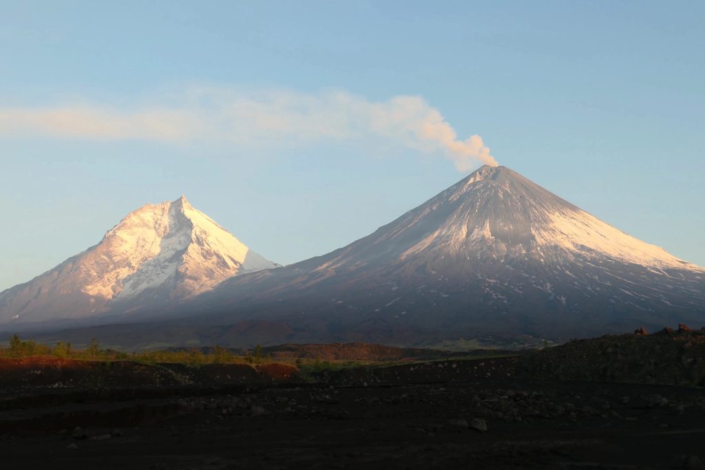
1. The Great Sitkin Volcano: An Extended, Ongoing Eruption
Thousands of miles distant in the most isolated Aleutian Islands, Great Sitkin Volcano has been erupting increasingly but continuously since 2021. According to the Alaska Volcano Observatory, the eruption includes continuous, steady lava effusion which has progressively filled the summit crater with a massive dome. Satellite and radar imagery currently shows lava flows continue on the southwest and southeast rims with minimal daily earthquakes and episodically occurring rockfalls.
As the activity persists, the eruption is termed as non-explosive in nature, and the Volcano Alert Level is Watch with Aviation Color Code Orange. Surface daily high temperatures and low-level steaming are reported despite the notorious weather in the region that can limit visibility. In addition, Great Sitkin is not currently a menacing scenario for nearby communities and air transport but acts as a reminder of the unpredictability of volcanic systems through its ongoing activity.
2. Kīlauea: A Hotspot of Unpredictability
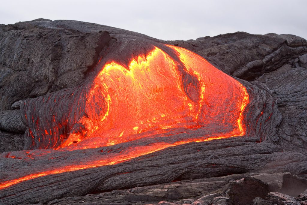
On the Big Island of Hawaii, Kīlauea is unique from the Ring of Fire, supplied by a stationary mantle plume instead of plate boundaries. The volcano’s most recent eruptive episode, starting in December 2024, has been characterized by intermittent lava fountaining and spectacular summit inflation and deflation. Sulfur dioxide emissions are still high 1,200 to 1,500 tons per day during even visible breaks in activity, says the U.S. Geological Survey.
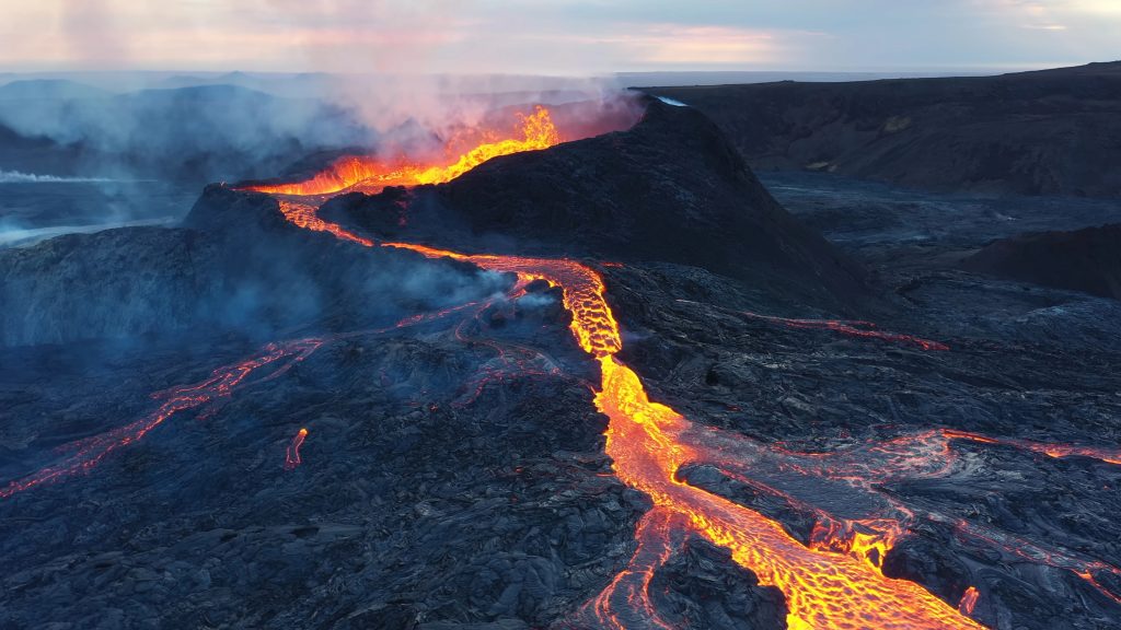
Researchers look forward eagerly to the initiation of “Episode 29” between July 17-20, with continuous ground deformation and seismic tremor. Volcanic gases, wind-driven fibers of glass known as Pele’s hair, and ashfall are hazards with health and infrastructure impacts downwind. Kīlauea’s eruption in 2018 leveled over 700 houses, demonstrating the volcano’s potential for sudden, devastating change.
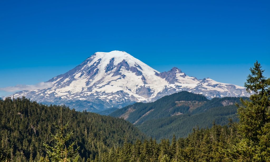
3. Mount Rainier: Lahar Danger of the Pacific Northwest
Mount Rainier, the giant that towers over the Seattle-Tacoma region, is the most hazardous volcano in the Cascades due to its size, huge glaciers, and proximity to populous suburbs. Rainier experienced its largest-ever earthquake swarm last week with 334 quakes in two days. Although the alert remains at normal levels, the swarm heightened the concern level for volcanologists.
Rainier’s greatest hazard is not lava, but lahars volcano mudflows set off by eruptions, quakes, or even historic rains. As the USGS warns, the flows can sweep over towns like Orting and Puyallup in a matter of minutes and threaten thousands. New lahar warning systems and around-the-clock seismic monitoring are vital to early warning and safety.
4. Axial Seamount: An Underwater Giant on the Brink
Along the coast of Oregon in the Pacific Ocean is the Axial Seamount that is silently increasing, with researchers anticipating a possible eruption in 2025. The seafloor volcano is monitored closely by ocean floor sensors that are waiting for ground deformation and seismicity. While any eruption here goes unnoticed under the public eye, it provides valuable information to scientists on mid-ocean ridge volcanism processes.
Real-time monitoring of Axial Seamount is the culmination of the new bottom-ocean seismology and remote sensing that is transforming knowledge about volcano behavior in inaccessible regions to scientists.
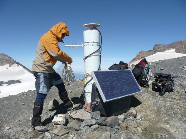
5. The Science of Modern Volcano Monitoring
How do scientists keep track of so diverse a list of volcanic hazards? Contemporary volcano surveillance combines observation, geochemistry, seismic networks, and satellite technology. Volcanic threats are tracked by ground sensors for earthquake, gas emission, and ground deformation, and remote cameras and satellite radar make continuous observations even when it is distant or hazardous.
As GeoNet describes, tools like Interferometric Synthetic Aperture Radar (InSAR) measure ground deformation in millimeters, and volcanic gas emission is tracked by airborne and ground spectrometers. If the tools are combined, scientists can identify subtle signs of unrest and make early warnings, though there still are complications in interpreting complex signals and in getting the public’s attention.
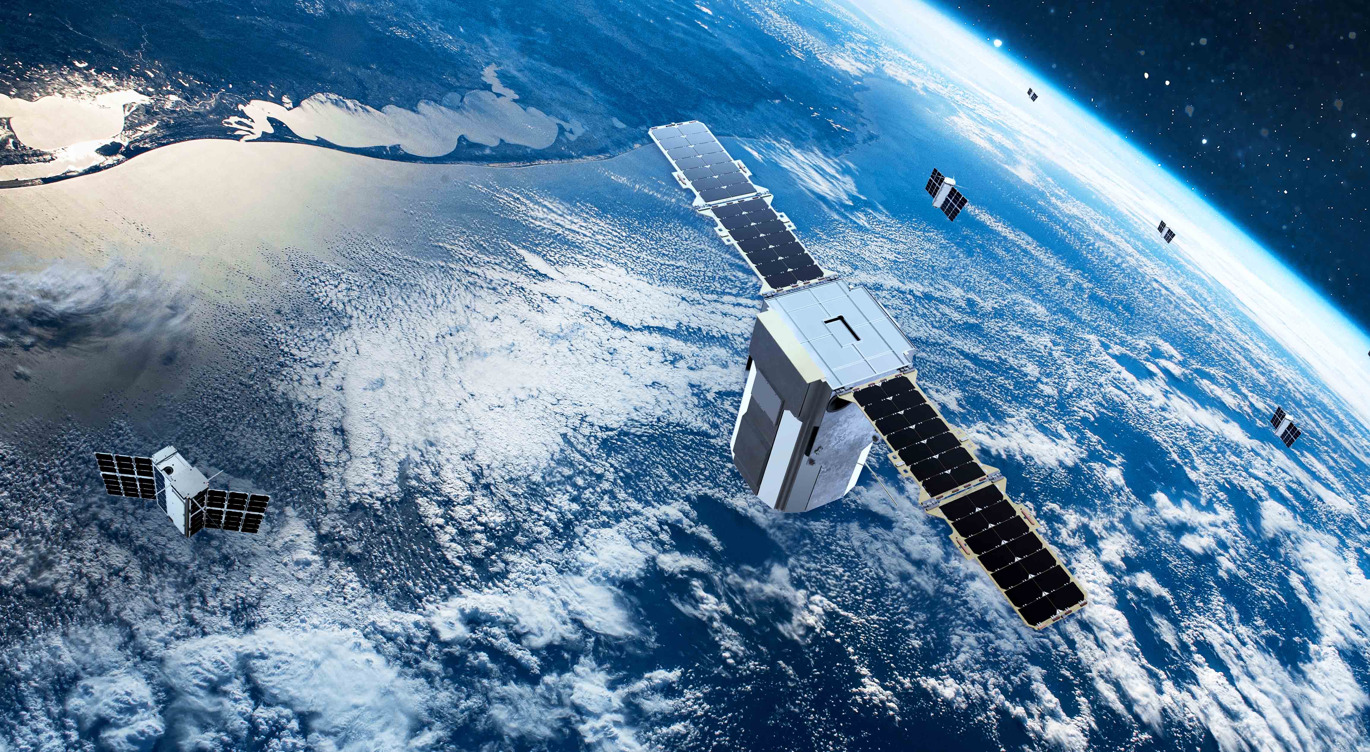
6. Satellite Monitoring: New Eyes on Quiescent Volcanoes
Even less active volcanoes historically are being monitored around the clock today, thanks to satellite remote sensing. Even Turkey, which erupted most recently more than a century ago, has satellites such as ESA’s Sentinel-1 monitoring it today, offering baseline deformation surveys that can initiate an early warning for unrest.
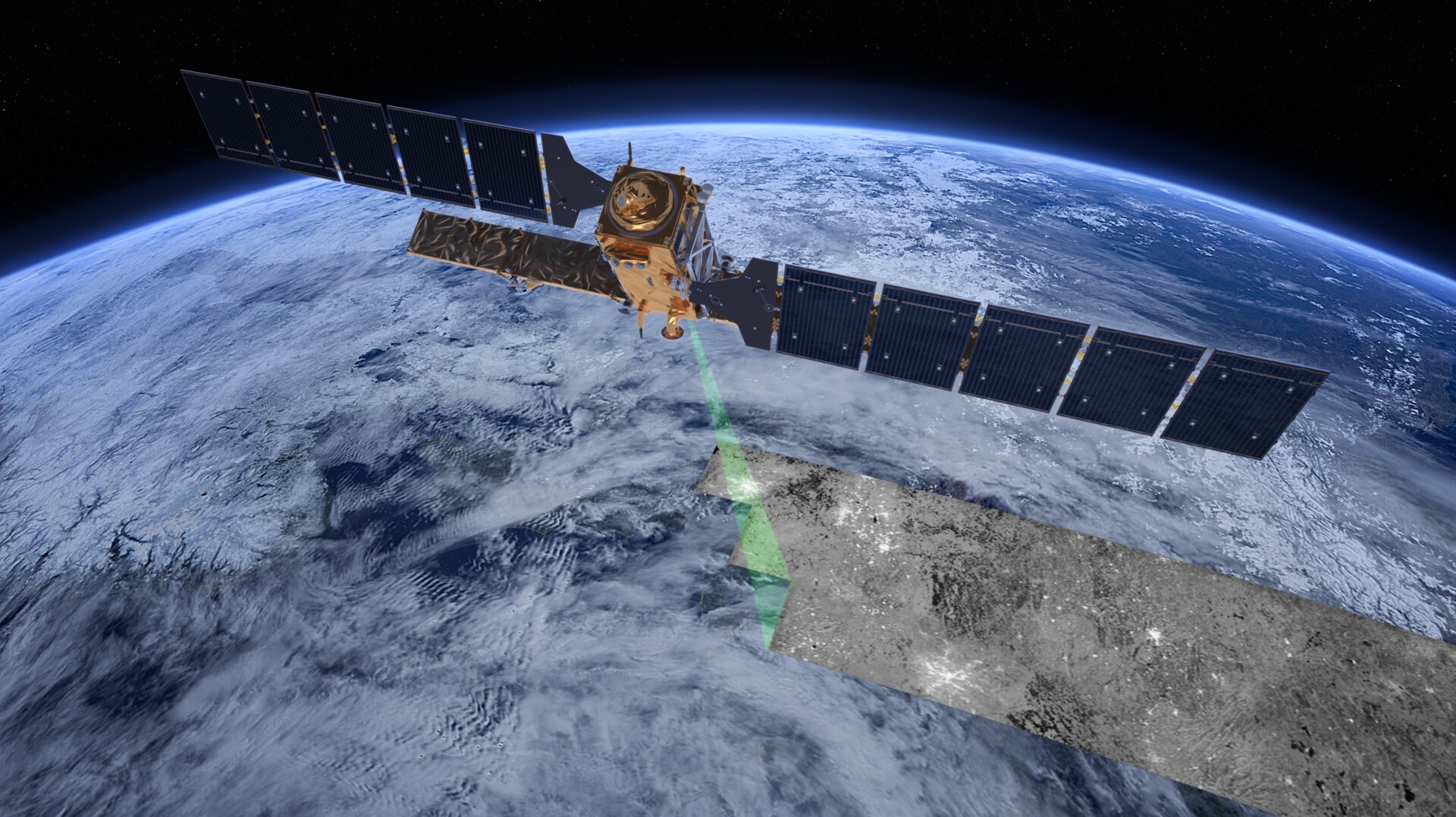
Thanks to InSAR, thermal imaging, and gas monitoring, the total number of volcanoes that have been discovered to be deforming has increased fivefold in the past two decades, a recent research study found. Machine learning algorithms today automatically sift through thousands of images, identifying anomalies which need to be examined. As in Applied Voltonology, “the significance of the capability of satellite systems to monitor large areas repeatedly to baseline monitoring, especially in areas of diffuse historical eruptions where budgets may be small.”

7. No Cause for Alarm But Alertness is Required
Despite the level of exuberance, officials are swift to level that none of the volcanoes in the region that are currently erupting in any way represent a form of immediate threat to regional populations. The recent volcano eruption is the culmination of tectonic processes and magmatics cycles in place since ages. Instability of the volcanic system does not permit complacency.
As since, as quoted by the USGS, “these volcanoes are unstable because they are triggered by natural movement in Earth’s crust, namely along the Pacific Ring of Fire,” sustained investment in monitoring networks, warning systems, and education is the best safeguard against future disaster.
The latest eruptions on the Pacific Ring of Fire are living proof of the Earth’s energizing forces. There is risk involved, but never has the science of volcano monitoring been more advanced or necessary. It falls to geologists, risk managers, and society to be well-informed and ready is the key to surviving with the planet’s most potent forces.

